Archived - MSFS flight plan has difficulty with mountain valley route. Will re-visit this at a future date.
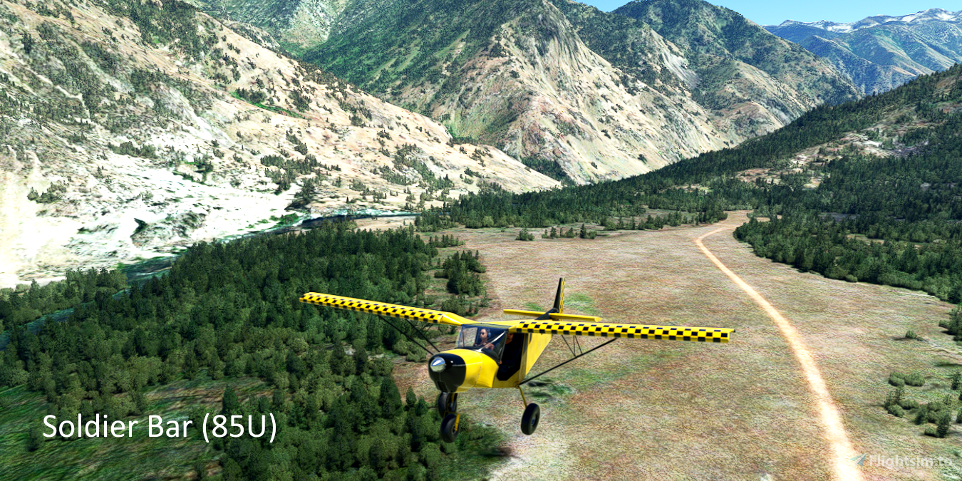
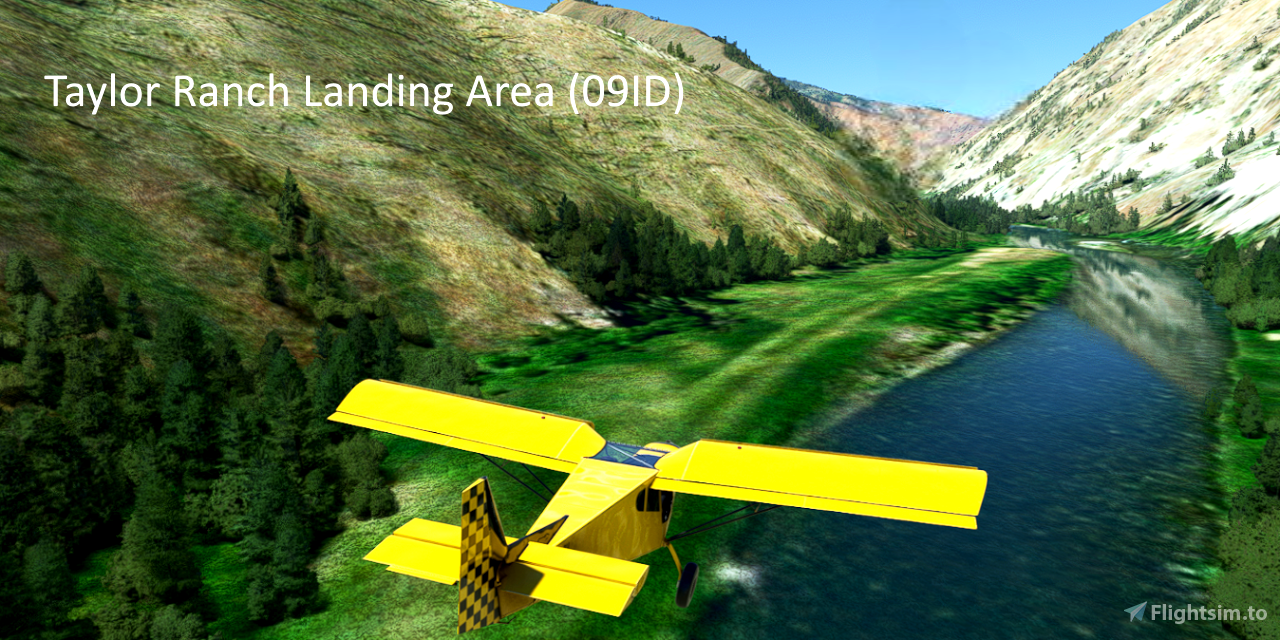
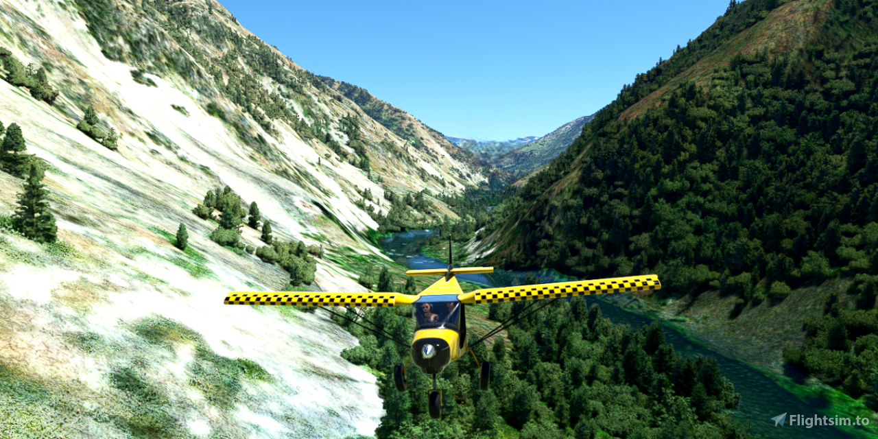
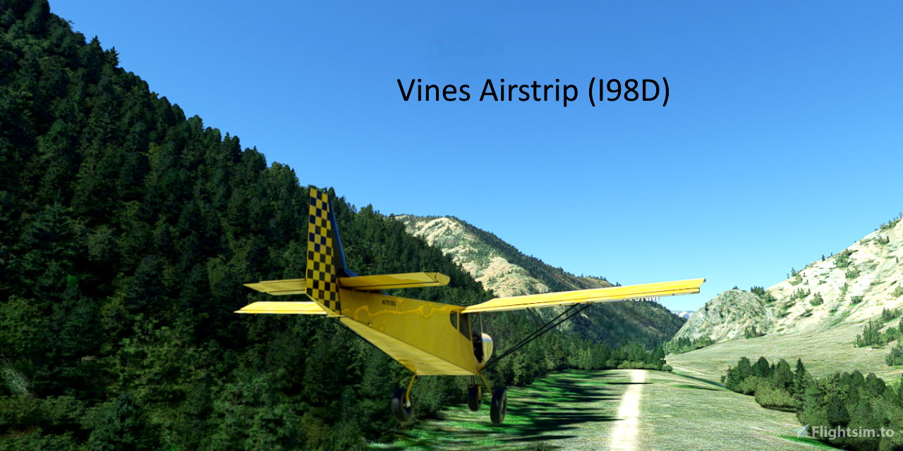
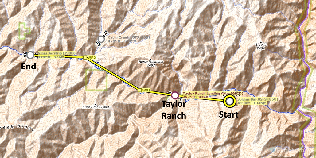
Fly along Big Creek in Idaho, from a small river-side airstrip to two additional airstrips. If you fly low and slow, just above the creek, the simulator directional markers may seem to be confusing. Simply follow the creek until you reach Vines airstrip.
Runway that departs in the direction of the flight plan: 25
Distance: 9 miles
IMPORTANT: MSFS visual waypoint markers are optimized for aircraft that fly at altitude, rapidly approaching and passing waypoints. For low, slow sightseeing flight plans, visual waypoint markers are often unreliable and confusing. To reliably see where you are, and where to turn, use the MSFS VFR map. Other moving maps, such as Little Navmap, also work well.
REQUIRED: Turn off AI ATC communications to properly display the visual waypoint markers in this plan:
Options tab > Assistance Options > Piloting > AI Radio Communications (ATC) = Off
REQUIRED: The relevant World Update (region) must be installed to ensure that the desired points of interest are displayed. World Updates are free in the Marketplace:
Welcome tab > Marketplace > search for "World Update"
RECOMMENDED: Turn off City Markers to declutter the screen. Low-altitude waypoints are often lost in the clutter of the city markers.
Options tab > Assistance Options > Points of Interest > City Markers = Off
See the included "README.pdf" file for additional information, tips and moving map instructions.
FederFlyer Short VFR plans are simple, short flights intended for beginner flyers, casual sightseers, ultralights, and occasional flyers who have a limited amount of time.

 FederFlyer

