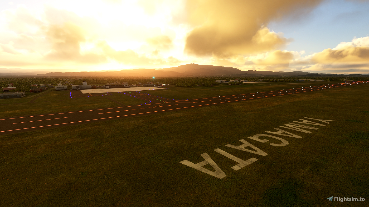
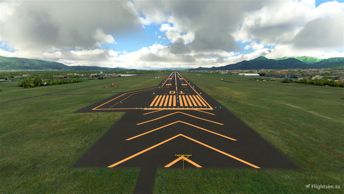

This default airport has been enhanced using MSFS assets. I used a tool created by Nool Aerosystems to create a custom heightmap (5m resolution) from Geospatial Information Authority of Japan DEM data. Check out my other works:
Version History
v1.0
- initial release
v1.0.1
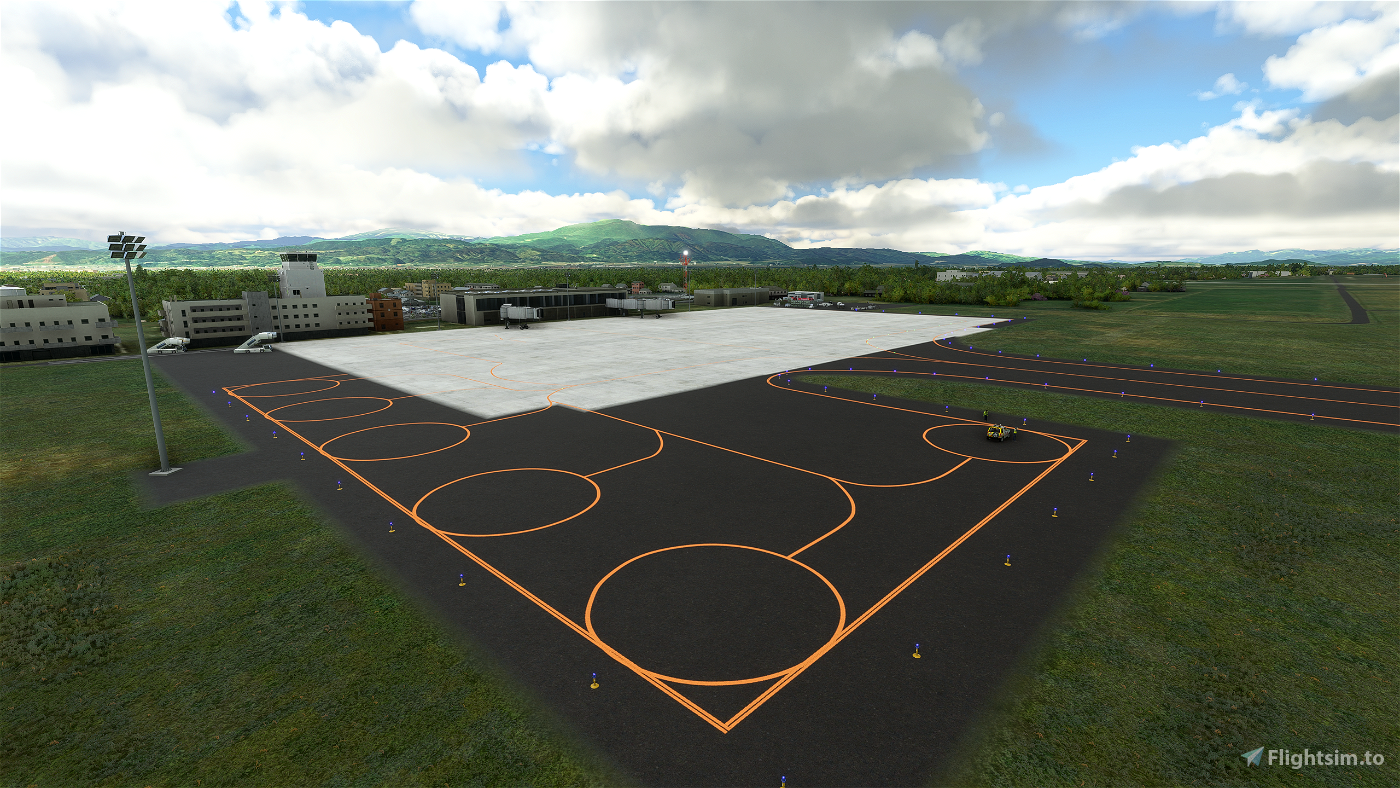
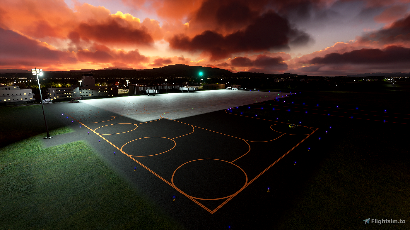
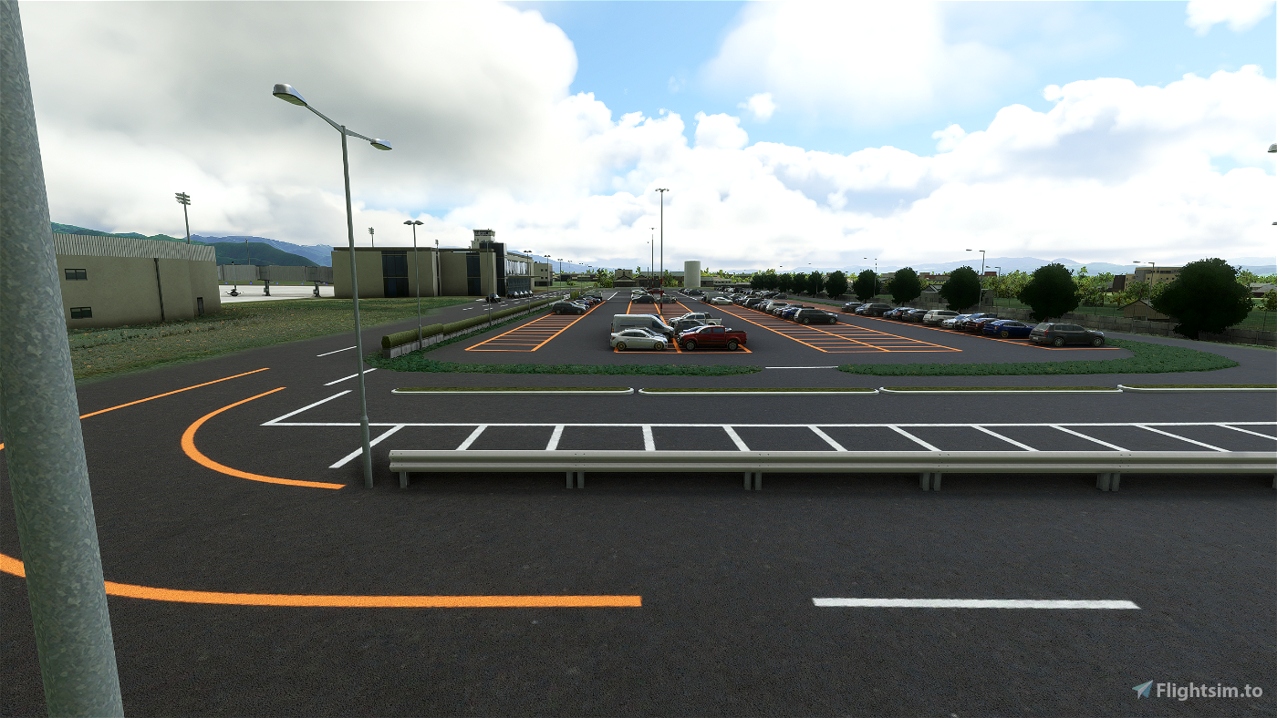
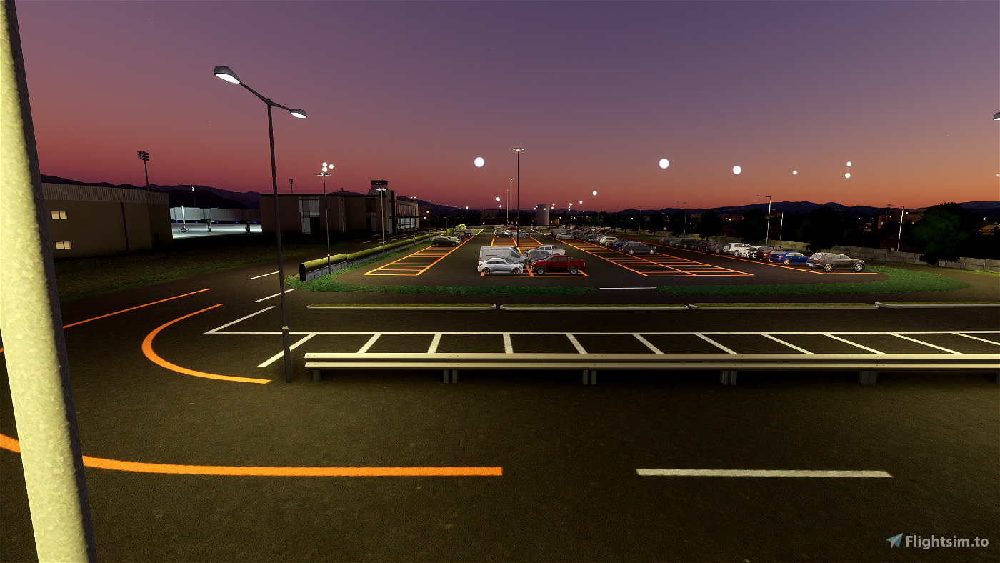
- reworked ground marking textures

 highmemfix1


19 days ago
Mental_G
Thanks for the update 😊
3 years ago
SeiferLizardKing
Thank you for creating! I always refer to it. Come to Sendai and Fukushima in this condition!
3 years ago
TOSHICHAN310