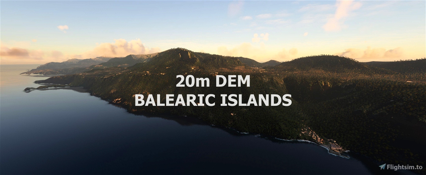
Experience the Balearic Islands
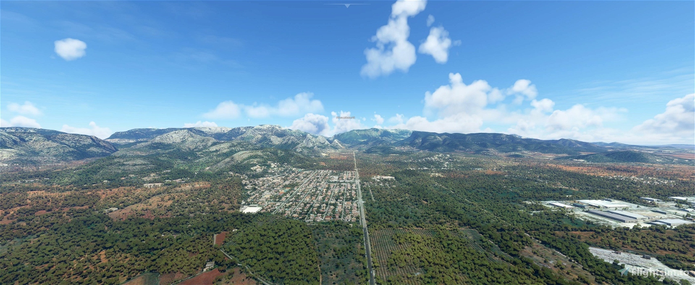
This mod contains customized height profiles. The mod contains high definition LIDAR DEM data with a mesh resolution of 20m. The height resolution is as good as 0.1m.
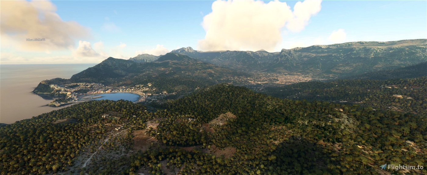
The mod does not only provide mountain shapes being very close to reality, but also flattens lakes & rivers and gets rid of any terrain artifacts.
IMPORTANT
Disclaimer: The creator of this mod is not responsible for any problems, damage, incompatibilites to other mods or performance issues that might occur.
Please note, that this mod is a very high resolution mesh. The elevation data is applied through terraforming rectangles, thus loaded at a certain distance from the player. When travelling fast or at high alitude (wide range of view) there might be too many new rectangles loaded simultaneously and thus stutters might occur.
If you have any stutters you can try and reduce your ingame render settings or uninstall!
If you are mainly flying airliners in high altitude, there is probably no benefit for you in using this mod.
Credits
The elevation data used was a LIDAR 20m height profile compiled by Sonny (https://data.opendataportal.at/dataset/dtm-europe)
It was then transfered into MSFS using MSFS Toolkit by Nool Aerosystems (https://msfs.nool.ee/)
Thank you both and for anyone reading this: Please go ahead and support them!
Thanks Troglodytus for you help!
Enjoy your VFR flights above the Balearic Islands!

 Mikea.at


Thank you for your work! It's awesome but in the northern coast, from Dragonera Island there's a bug that affects all northern Mallorca. Anyway it's incredible the detail level!
1 years ago
hirugarren
Mallorca coastline in the north at Point "POS" is not better 😞
1 years ago
village1111
Is it compatible with other Mallorca Scenerie's????
2 years ago
Headi
Thanks so much, really brings these beautiful Islands to life! Is it possible to do Croatia?
3 years ago
utd4life12
Very nice, however I just noticed by flying from northeast down to Palma, that there is a significant amount of terrain morphing, although not everywhere, just some small valleys and ridges. Strange, as I did not observe this in any other 20m DEM I installed so far (Pyrenees, Swiss Alps, Austria, Germany). Stuttering was not an issue though...
3 years ago
AnkH
Thanks for the great work 😀
3 years ago
charliebravoAT
This is great - thanks a lot 😊 Would it possible to do Iceland ?
3 years ago
It is on the list :)
3 years ago
Mikea.at
jvr009
thanks a lot wonderful job....can you please ALPI APUANE tuscany italy?
3 years ago
Maybe troglodytus is doing this ;) he has it on his list.
3 years ago
Mikea.at
rubino
Another very nice work, many thanks for sharing
3 years ago
ridgenj