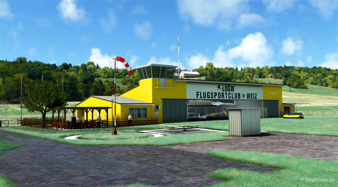

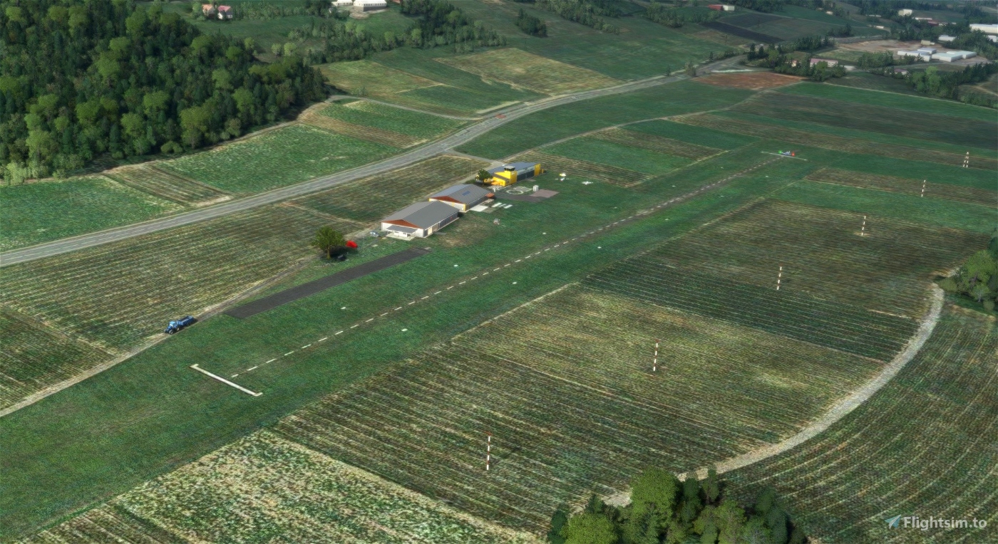


Welcome to LOGW - Weiz / Unterfladnitz Visit the original Homebase of ASKÖ Flugsport-Club Weiz!
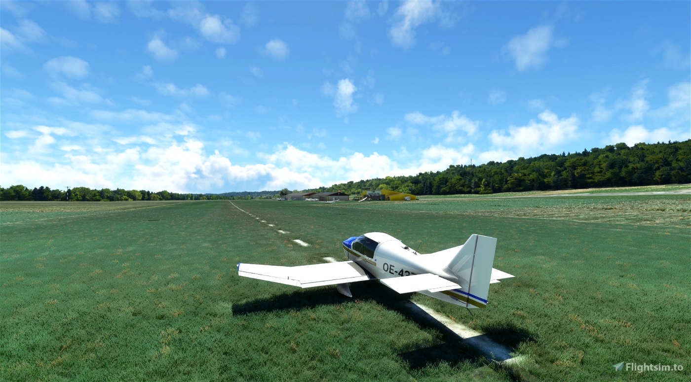
The Airfield LOGW Weiz / Unterfladnitz is a private use airport located near 5km south-east of Weiz between the Rechberg Bundesstraße B64 and the railway of Styrian State Railway Company.
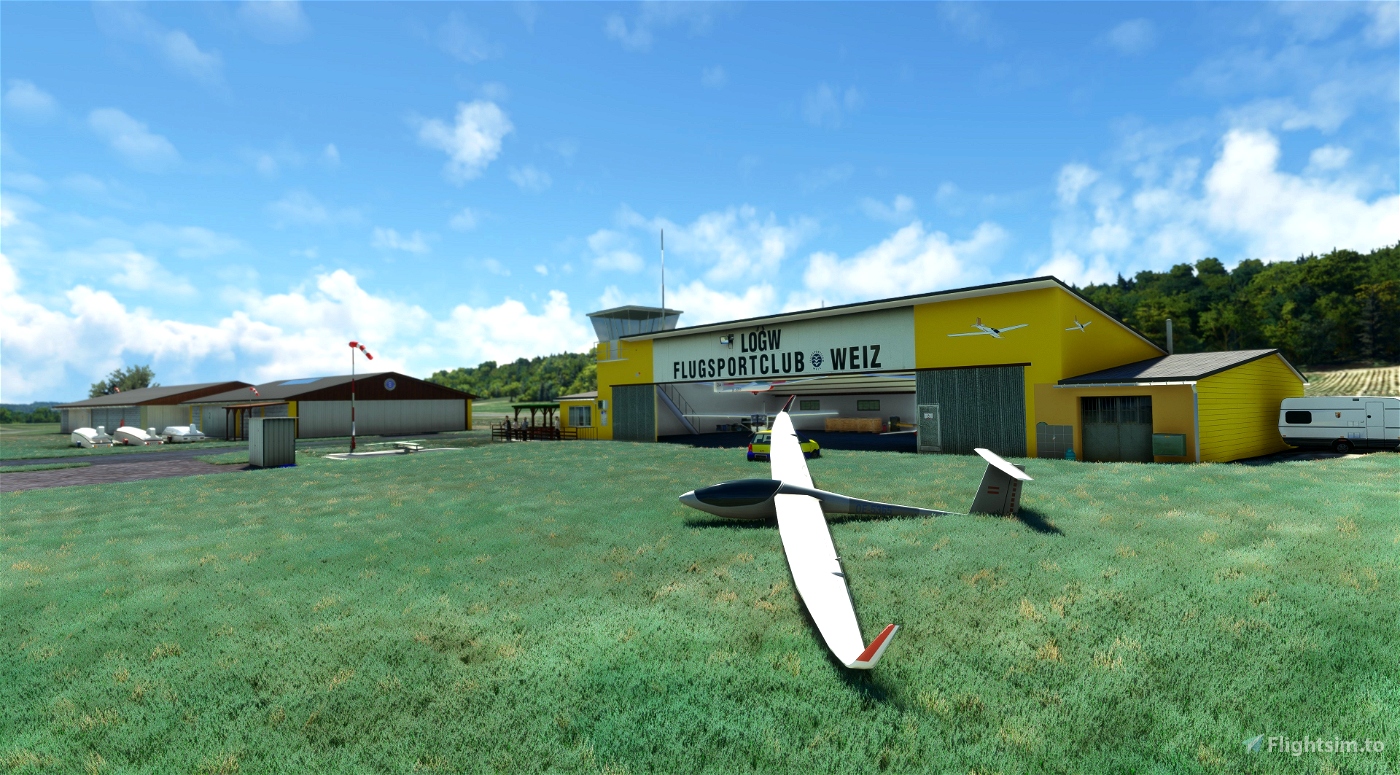
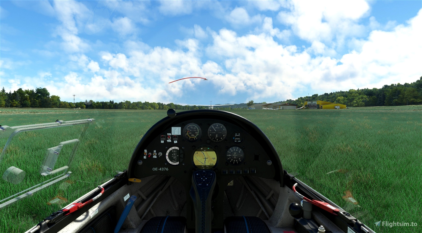
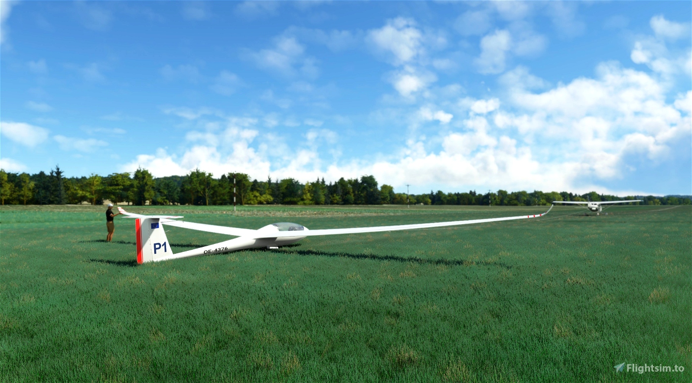
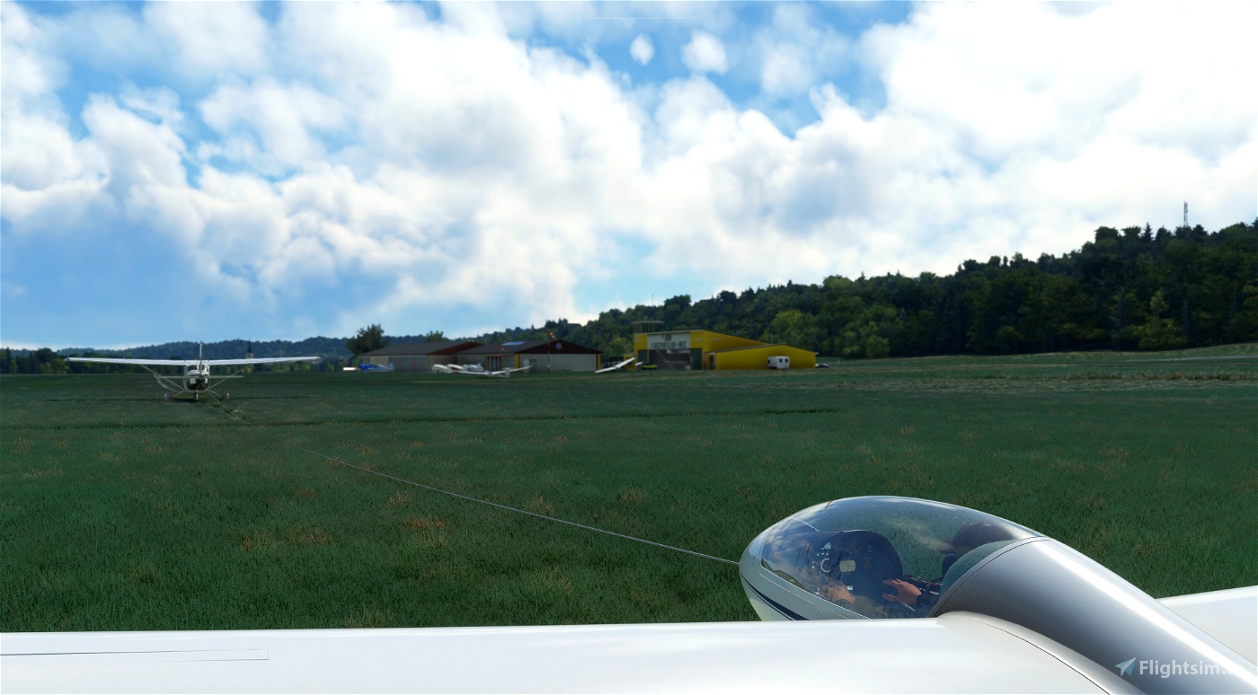
ASKÖ Aviation Sport Club Weiz is operating the airfield, which is used by small single engine fixed wing aircrafts, gliders and helicopters up to 2t max weight.
Data:
ICAO: LOGW
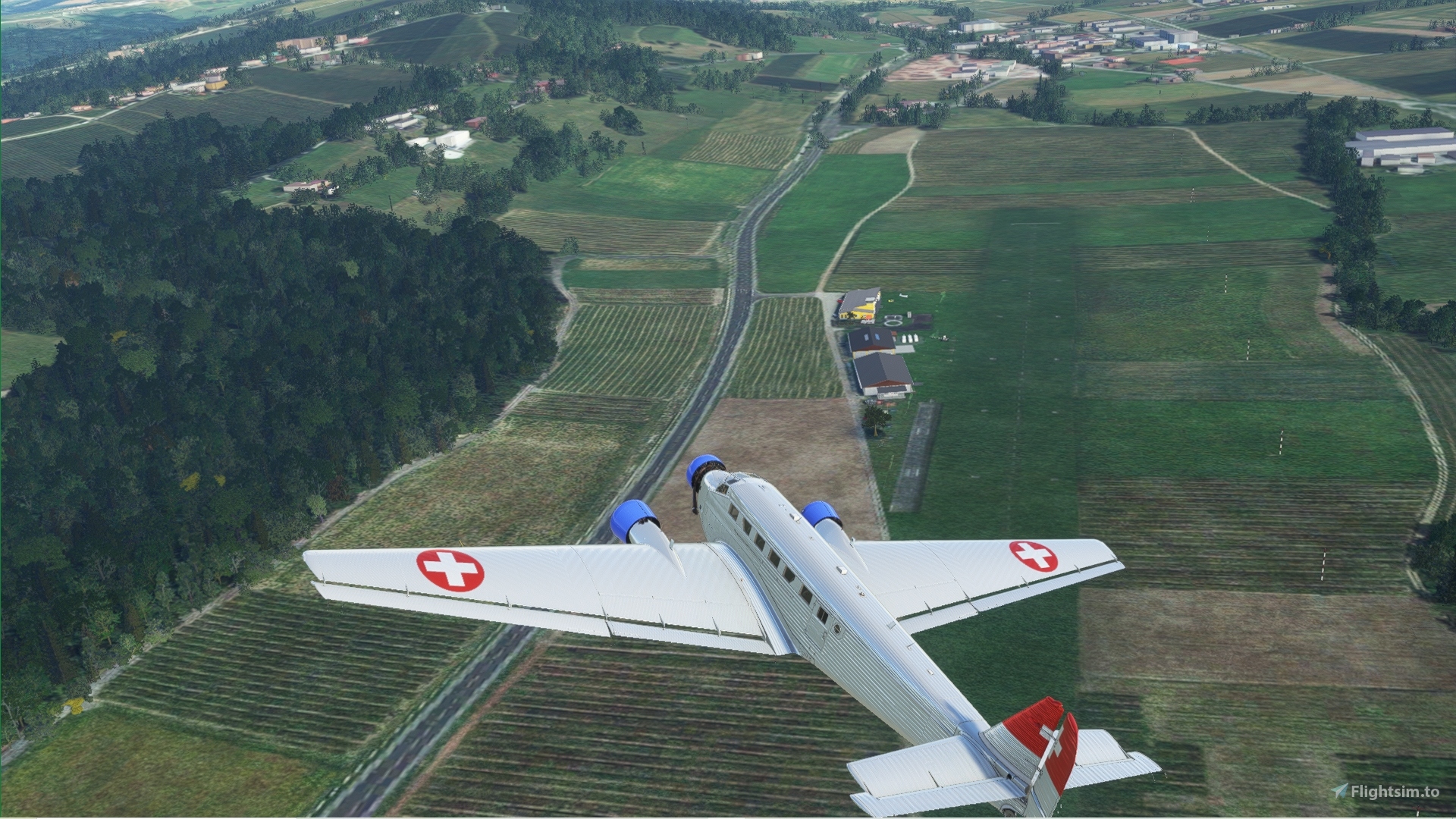
Runway: 18/36
Length: 1443ft/440m, grass
Elevation: 1297ft/395m
Freq.: 122.180 MHz
Features:
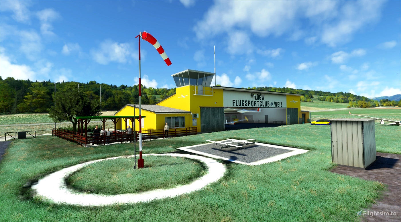
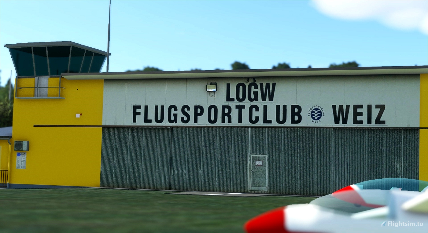
* Detailed, handcrafted rendition of LOGW - Weiz Airport with custom buildings (High Res PBR Materials)
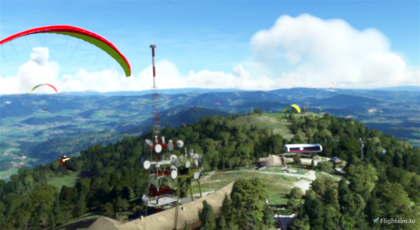
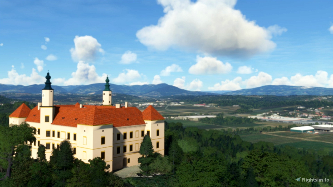
* Handcrafted models of nearby (Schloss Freiberg and Schöckl-Radio Towers) POI
new the Schöckl-Gondolas (2022) Assetpack
* Photogrammetrie (Riegersburg) POI
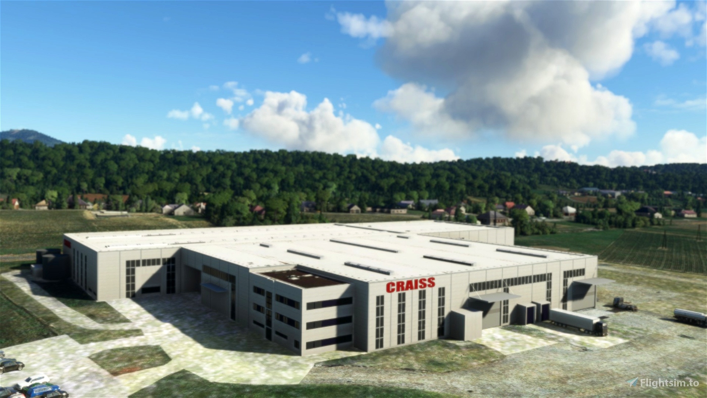
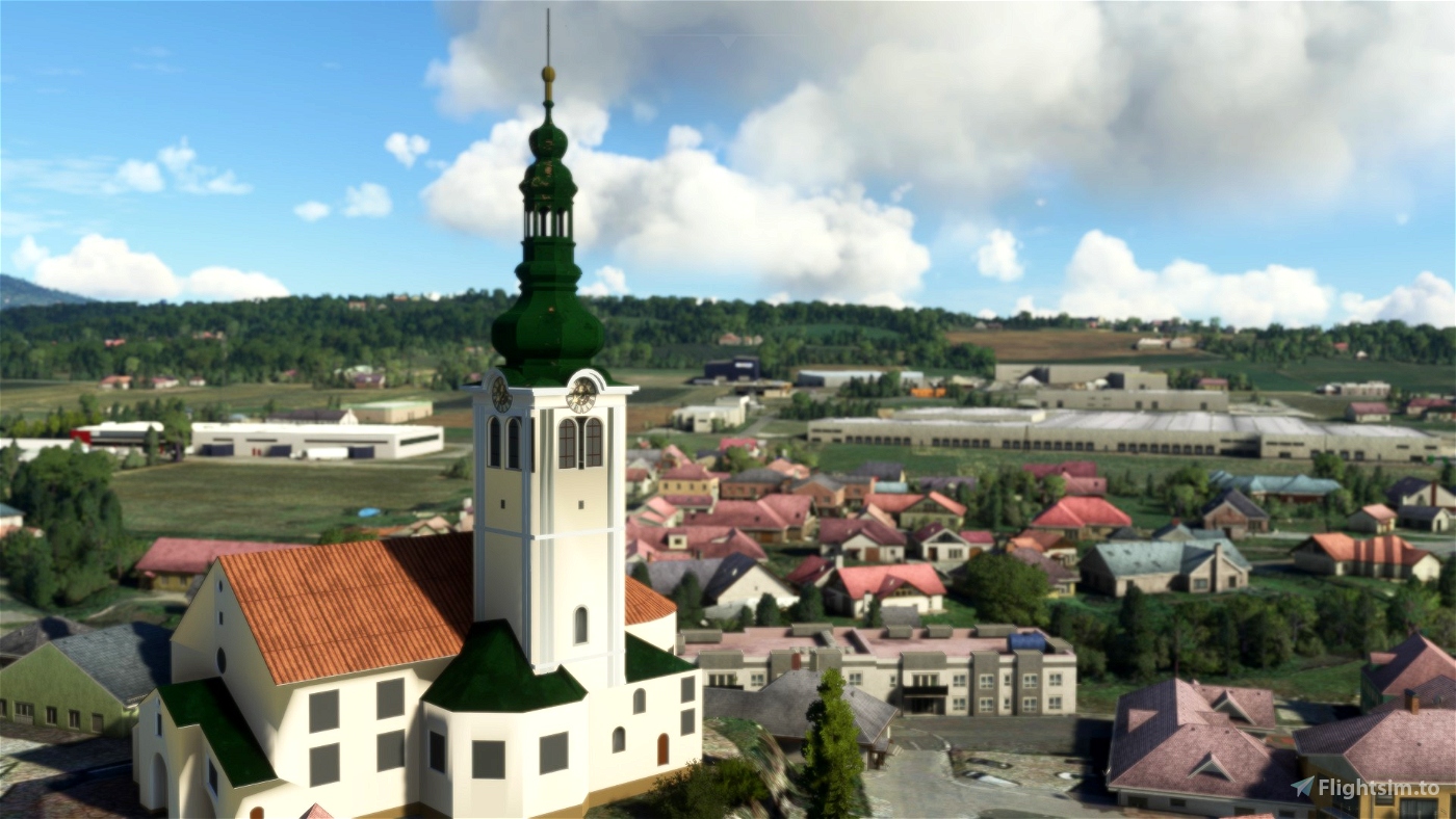
* Handcrafted models - (2021) (Caffe Okei, Tankstelle Leitner, Kirche St. Ruprechrt, Matzhold Terminal 3,
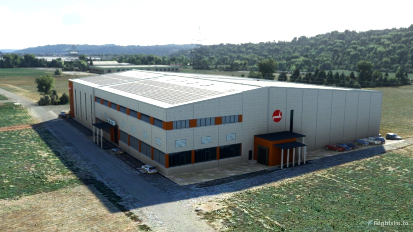
Liebbau Weiz, Rondo, Craiss, Fahrschule and Bauers Beeren)
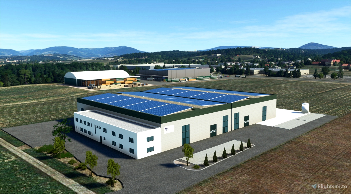
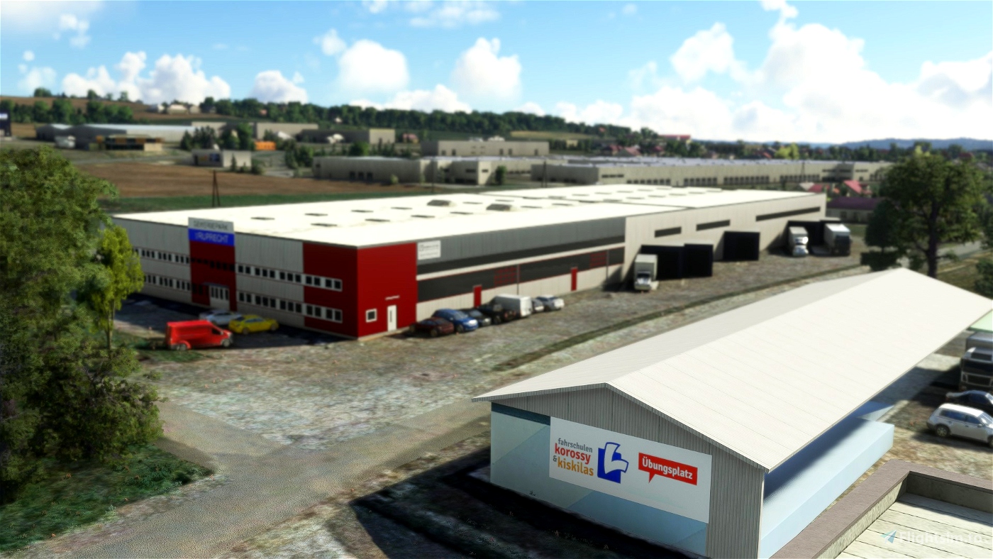
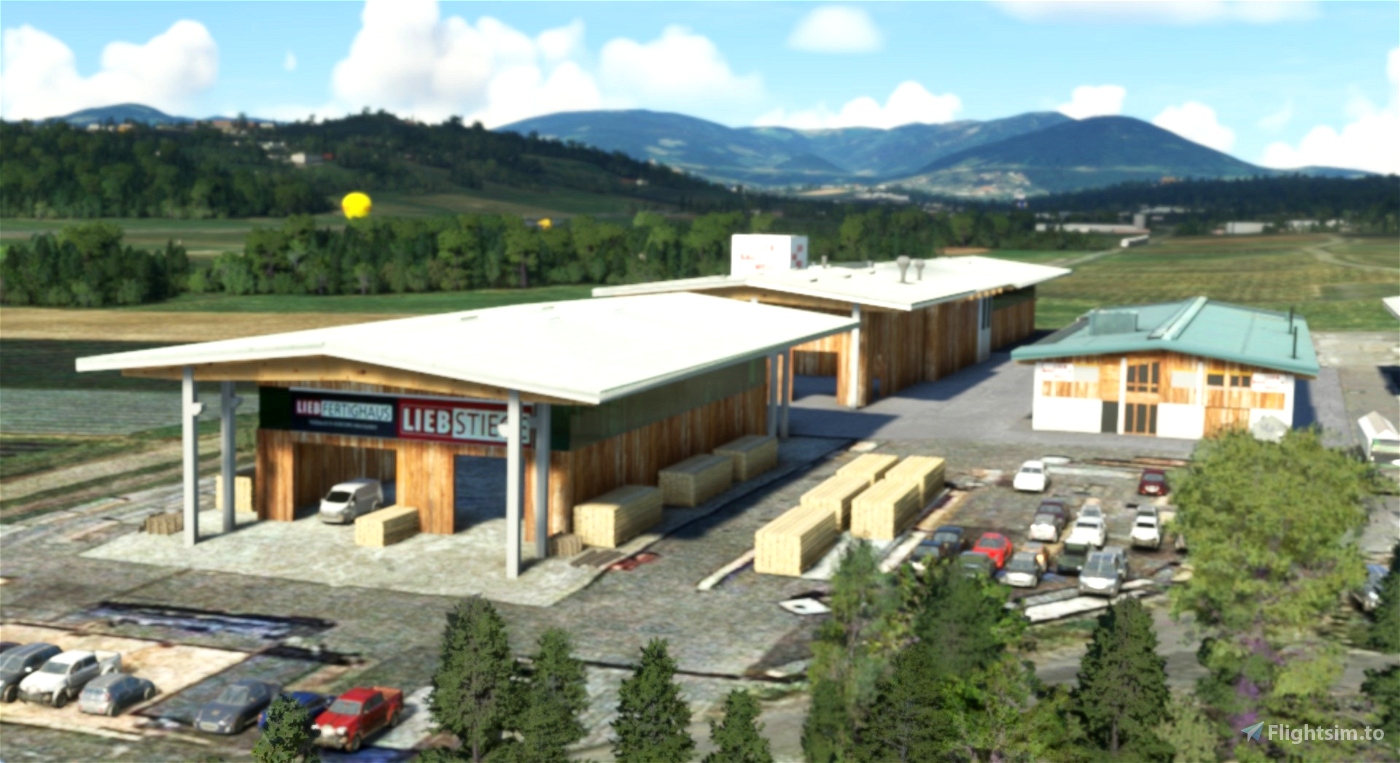
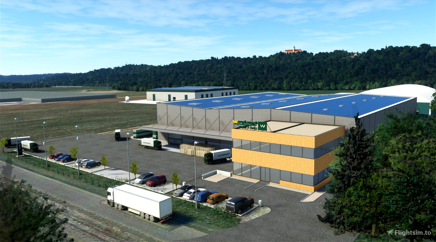
* Handcrafted models - (2022) (K1 Center, Gewerbepark St. Ruprecht, Weyland - Stahl + Holz,
Profine in Wollsdorf)
* Custom apron textures and ground markings
* Loads and loads of details
Update 2024:
- I changed the current logo on hanger 1 and 2.
Update 2023:
- !!! Runway change to 515m, now the DG Aviation LS8 - 18 can also be started !!!
- Bioenergie - Wollsdorf 2023 (01-07-2023) Online.
Animation:
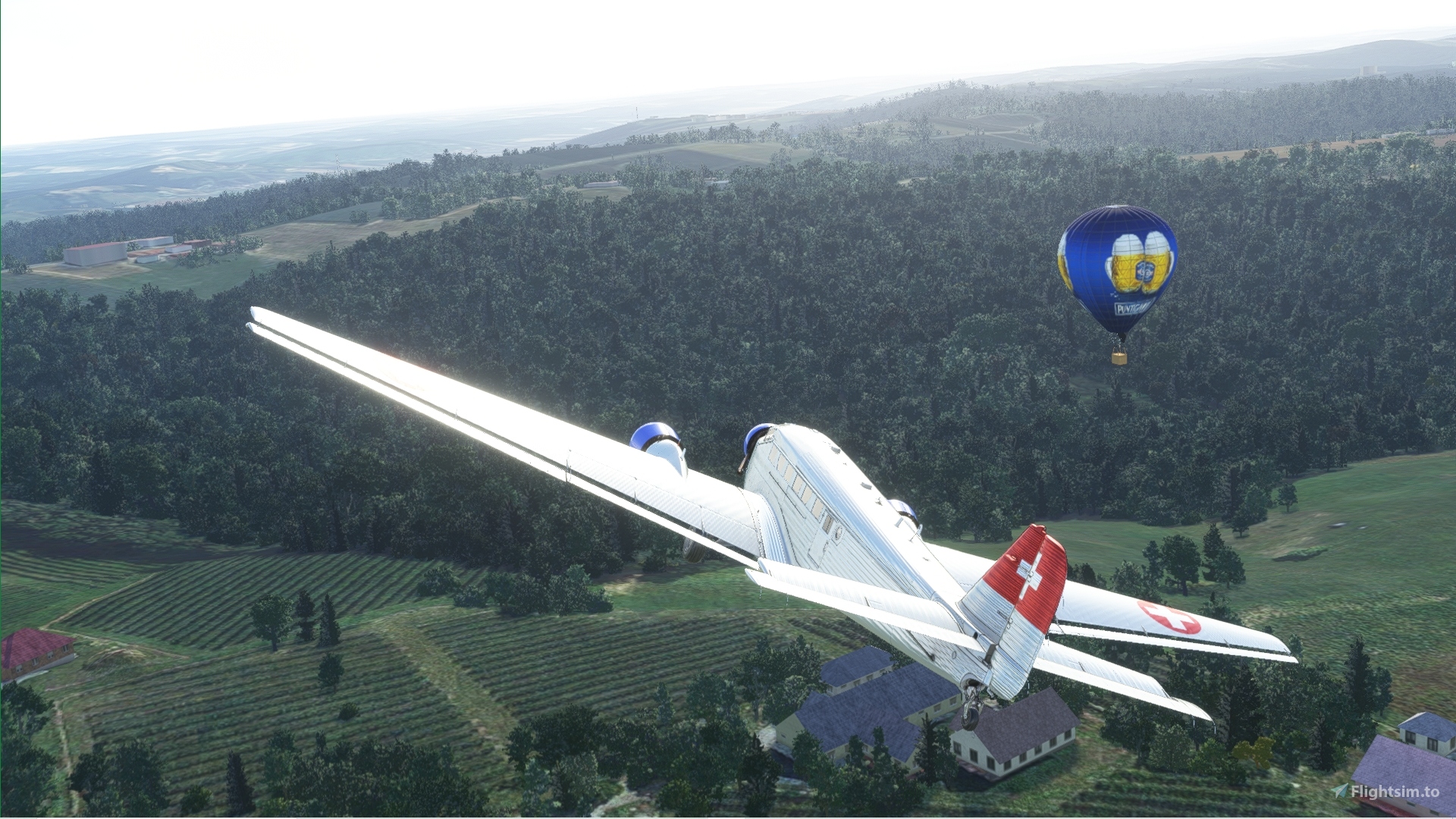
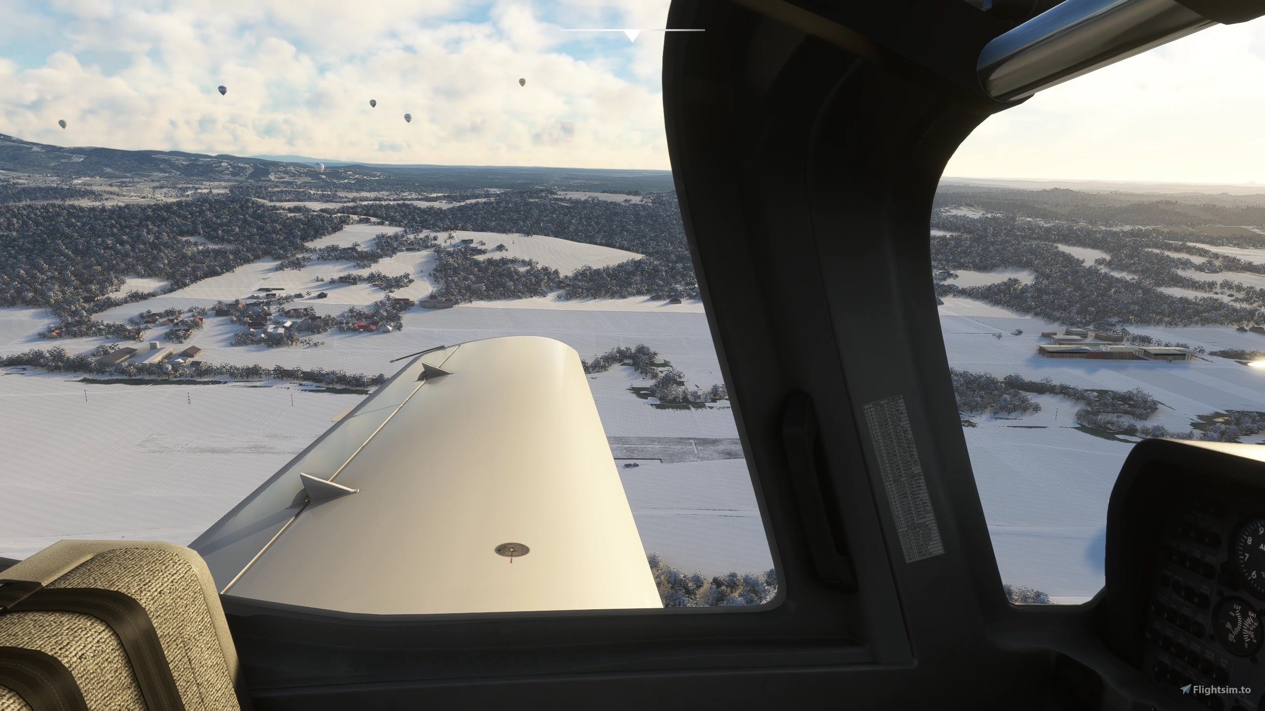
- the hot air balloons are now animated and fly in the airspace of LOGW - Weiz (2022/10)
- the train is also animated (2022)
- There are now Paragliders animated and fly in the airspace of Schöckl-Radio Towers and Kulm - Stubenbergsee (2022/10)
- updated the Hanga 1. The gate is now animated and opens at 8 am and closes at 6 pm. (2022)
Video:
How to install?
There are 3 maps:
1 map is Unterfladnitz - map for the runway!!!
1 map is Gleisdorf
1 map is Weiz
Please download all maps to get the best results
Just unzip the download and drag&drop the folder into your community folder!
### (if you use "MSFS 2020 Google Map replacement" then don't download the 3 maps!!!) ###
Disclaimer:
Please note that this product is still a beta version, so there is no guarantee to work perfectly fine and it being 100% accuarte
Assetpack:
# MSFS 2020 Google Map replacement
# Windy Things
# Project Lifts - Chairlifts...
# Powerlines and Solar Farms
Assetpack installed to get even more details!
Thank you all and enjoy your flights!


CaptainMoonlight
Ricochet83
CaptainMoonlight
Chaser67
D3dZ author
4 months ago
McHenry
Ich als Umland-Grazer liebe natürlich genau diese Verschönerung meiner
MSFS-Welt und freu` mich schon riesig auf die nächsten tollen VR-Flüge rund um
meine Heimat. Und jetzt nachdem ich alter Depp es endlich geschafft habe, ein Paypalkonto
zu aktivieren, lade ich dich (oder euch) gerne auf 2 heiße Leberkäsesemmeln ein! (Mußt aber schon in Fehring kaufen, damit sich`s ausgeht ... 😉
Alles Liebe! Henry/Heinz.
PAPYDANIEL66
salut, toujours superbe avec s11. J'ai mis un screen. Merci
D3dZ author
9 months ago
Jump
WOW, vielen Dank für dieses großartige Add-on! Einfach mega.
D3dZ author
Danke :)
2 years ago
PAPYDANIEL66
Merci de France. Très belle scène
D3dZ author
2 years ago
Canarias
Wenn ja, dann sollte man, in welcher Form auch immer, den Untergrund um den airport auf den üblichen MSFS bringen. Weitere Flächen erscheinen in luftiger Höhe nicht ganz so krass wie direkt um den Airport!
Canarias
Danke für die Info!. Habe nach deiner Vorgabe den MSFS gestartet und damit die original Umgebungsscenery erhalten. Diese ist in der von mir beschriebenen groben Struktur. Das bedeutet, dass dies auch dort die Default Struktur des MSFS ist! Richtig?
Canarias
Als Ergänzung: So wie "AnelToro" schreibt scheint die Umgebungsscenery von gogglemap zu stammen. Warum verwendest Du hier nicht Bing oder Alternativ. Dann könnte man auch den Airport wegen der Datenmenge und sehr alten Kompatibilität der scenery Ergänzungen alleine verwenden. Grüße und Servus aus EDDM
Canarias
Hallo aus EDDM,
habe gerade Deine scenery (map for the runway!)geladen und installiert. Sehr gute Arbeit, jedoch ist das direkte Umfeld des Airports (Wiesen und Äcker) dermaßen grob strukturiert, dass dies den Gesamteindruck erheblich stört. Wollte mit der default scenery vergleichen, jedoch hat MSFS diese Strukturen für mich unlöschbar irgendwo gespeichert. Daher wäre es besser lieber das Umfeld kleiner aber detaillierter zu halten!
Scooty
Starte mal die Sim ohne Addons. Im Zweifelsfall: Starte die Sim und beende sie "hart" über deinen Taskmanager. NICHT "normal" über das Game-Menü beenden! Wenn du danach wieder startest fragt dich die Sim, ob du im "abgesicherten Modus" starten willst... ja das willst du dieses mal... und startest somit die "originale" Sim, "jungfräulich, ohne Addons. Danach schau dir die Landschaft, die dir nicht gefällt genau an und checke, was dir nun auffällt...
2 years ago
gosub
Very good job. Thank you 👍
LordAichhorn
totally impressive!! very good job - congratulation
AnelToro089
Hi there, a quick tipp is t hat you dont need to use google maps. There are perfectly good FREE maps to be download trough QGIS from https://www.geoland.at you might look into those as well they are also newer then good and Higher res!