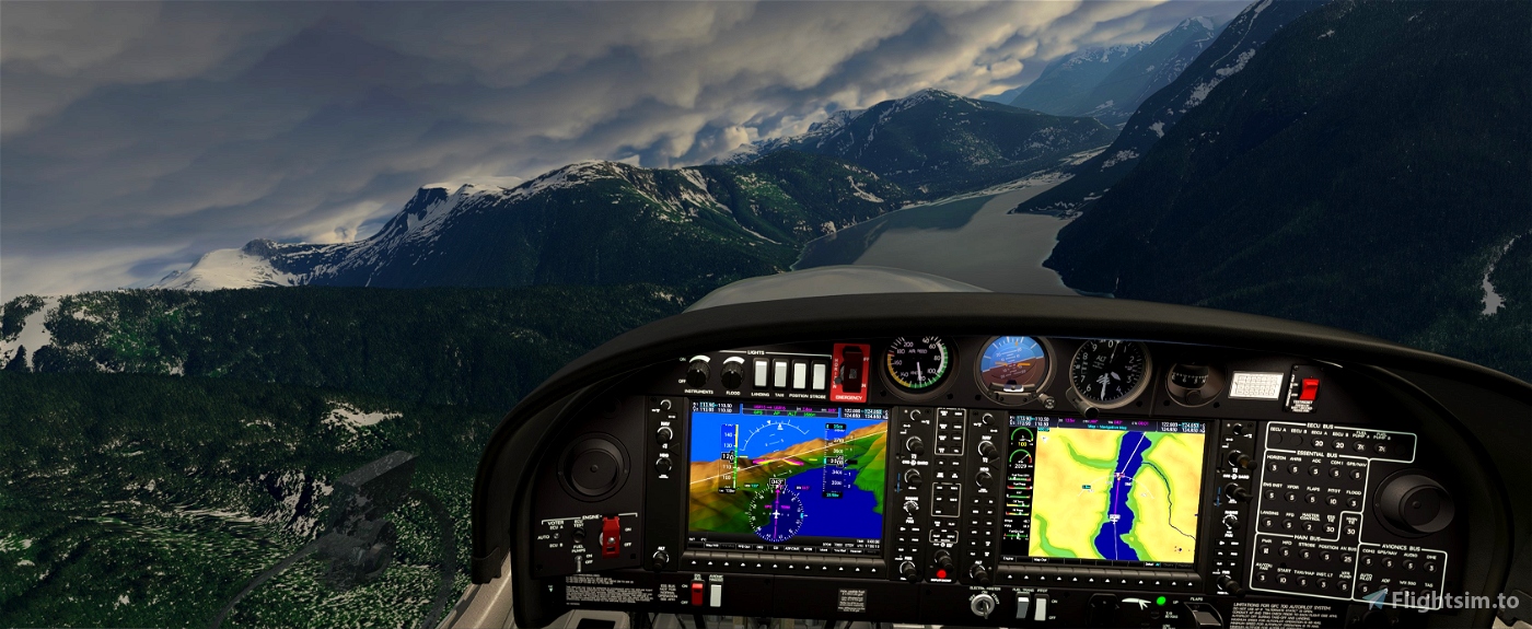
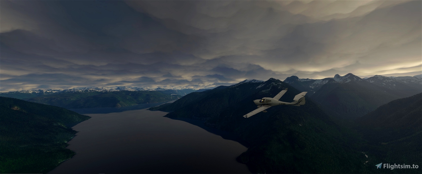
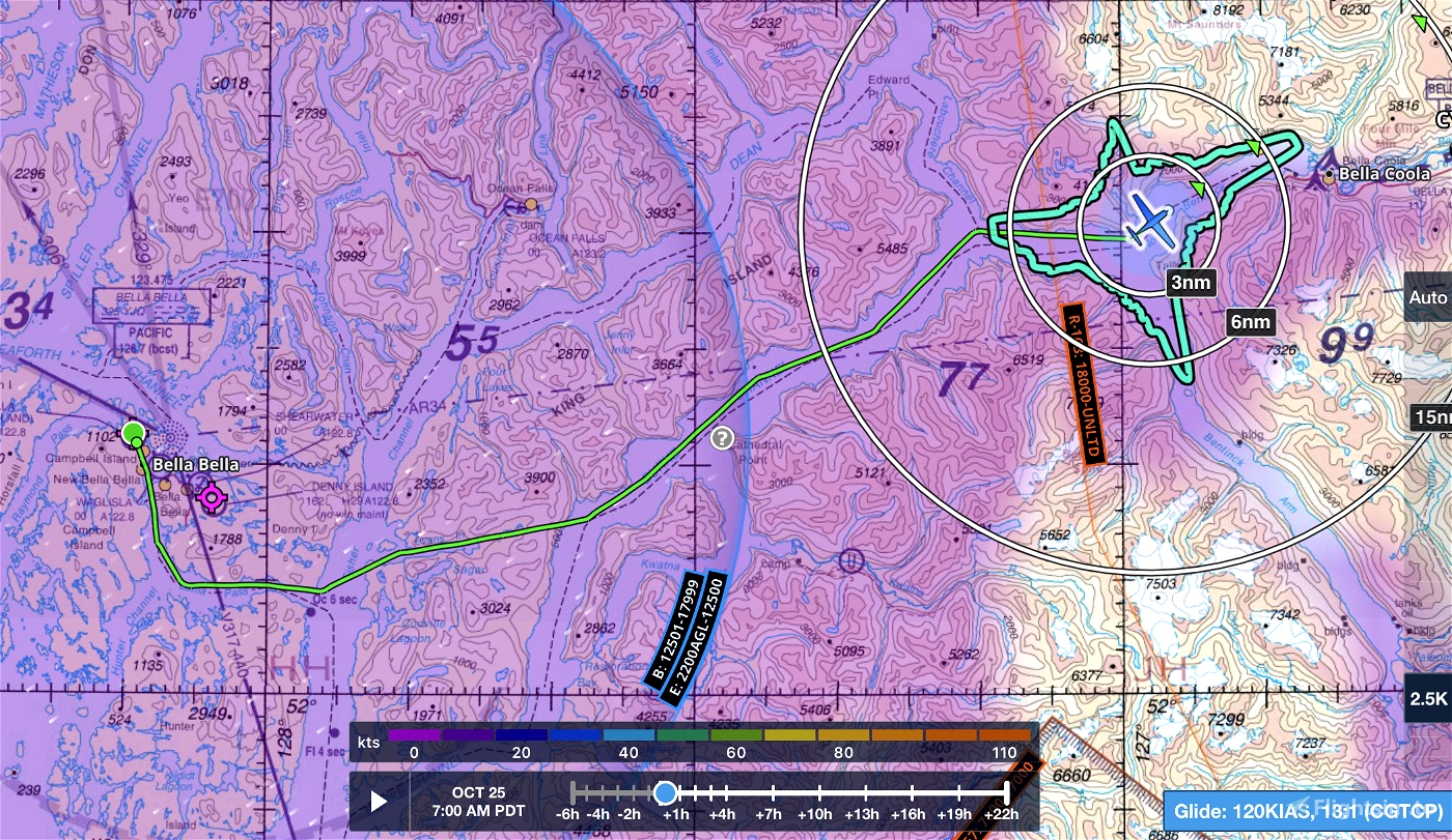
This is a VFR GPS flightplan route from Bella Bella Campbell Island CBBC to Bella Coola CYBD.
Trip distance approx. 60 nm.
Minimum enroute altitude for this plan 2500' (make sure your altimeter is set properly)
Reverse plan is included.
Simply place the .pln files into your "localstate" folder (a few back from community) then you can load them in from the main map window in the sim.
Bella Bella scenery is available on my webpage: genaiss.com/other-interests
Enjoy!

 deltasim59er


I love your BC VFR flights, bu this one has an issue. It flew fine from Bella Bella, then when it got within 5 mies of Bella Coola, it made a right turn into the mountain side. I flew the whole flight with AI pilot
3 years ago
I'll check that out Brian thanks. When I flew it I just turned off AP when entering the estuary so I didn't see that.
3 years ago
deltasim59er
onlyforbrian
awesome thanks!
3 years ago
schedul1