Distance:300km.Length:1.5h .
Difficulty:Medium-Advanced ...
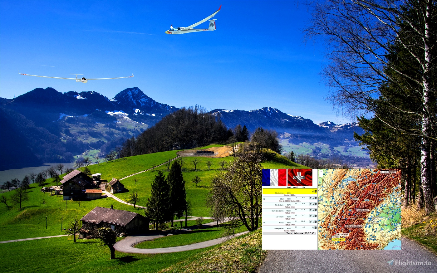
Departure: LFTM
Destination: LSMM
Weather report:
Few clouds
15 kts wind from SW
Notes:
The departure airport is a famous gliding location and home of Klaus Ohlmann's Eagles Alpine Soaring Academy.
----
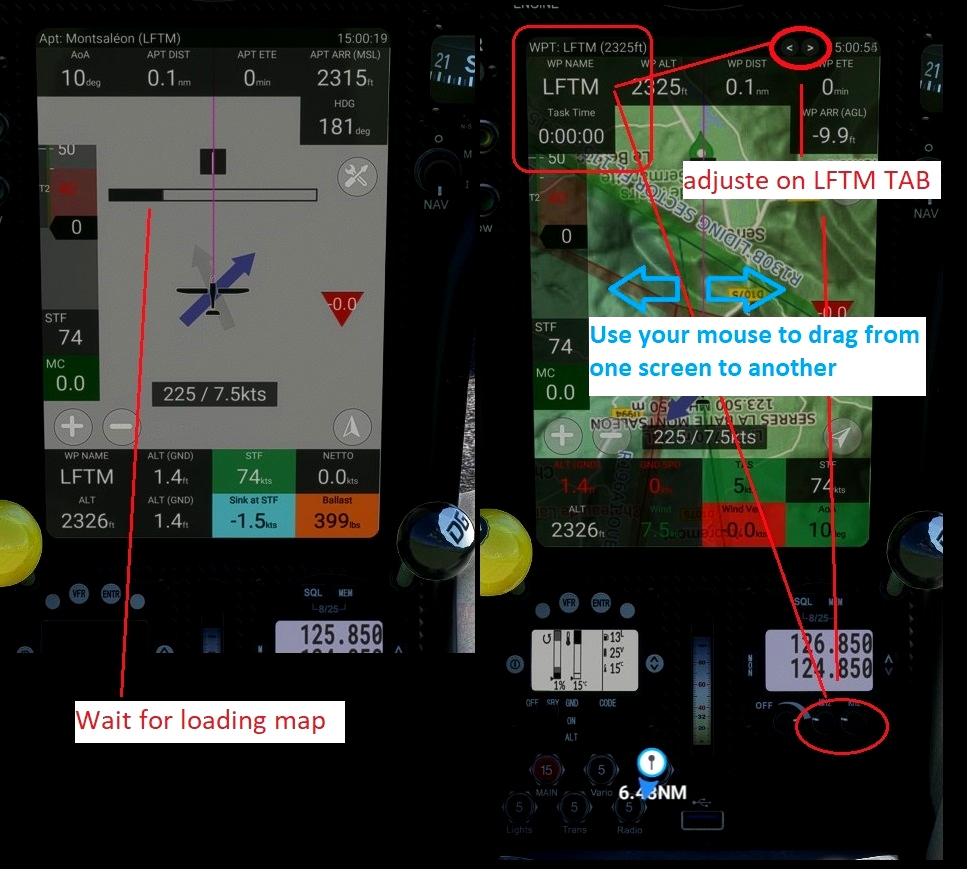
Use and look to GPS to validate all crossing points (notification when done).
Watch your GPS and wait for the map to finish loading.
Then adjust the GPS on the LFTM tab .
Use your catapult to take off. Pull on the yellow handle.
Use your engine to take off.
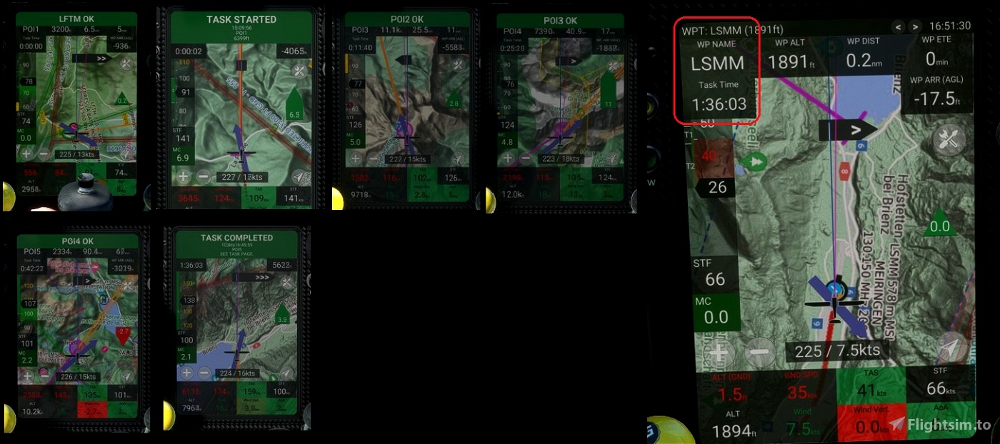
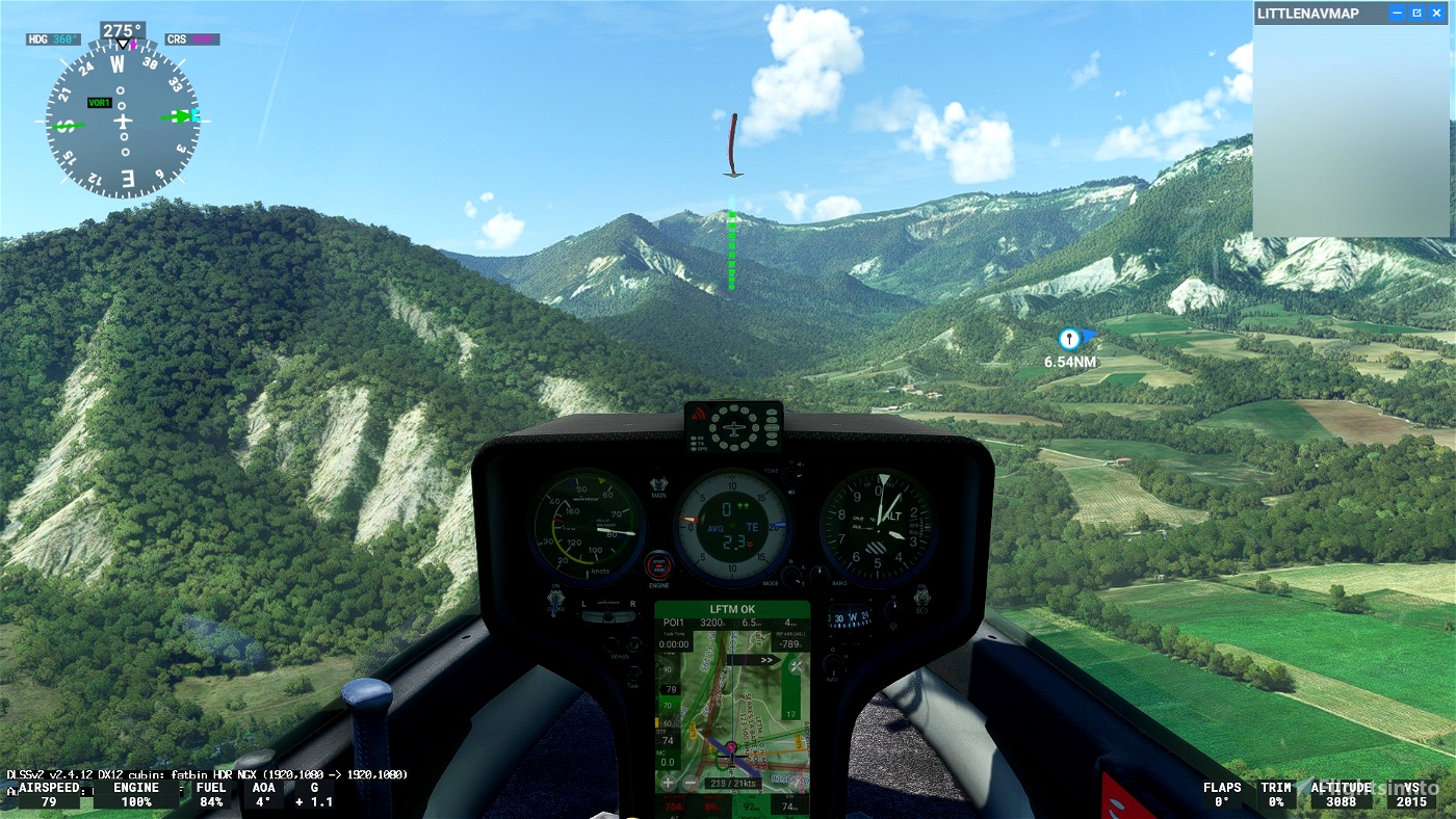
Pass over the aerodrome to valid LFTM
When you have reached 2500 feet, turn right to unhook the cable and pass over the aerodrome.
Make sure that you have validated the crossing point above the aerodrome.
Use and look to GPS to validate all crossing points (notification when done).
Start your engine to reach 5 000 feet.
Maximum height to pass the POI1 start line.
----
---------------
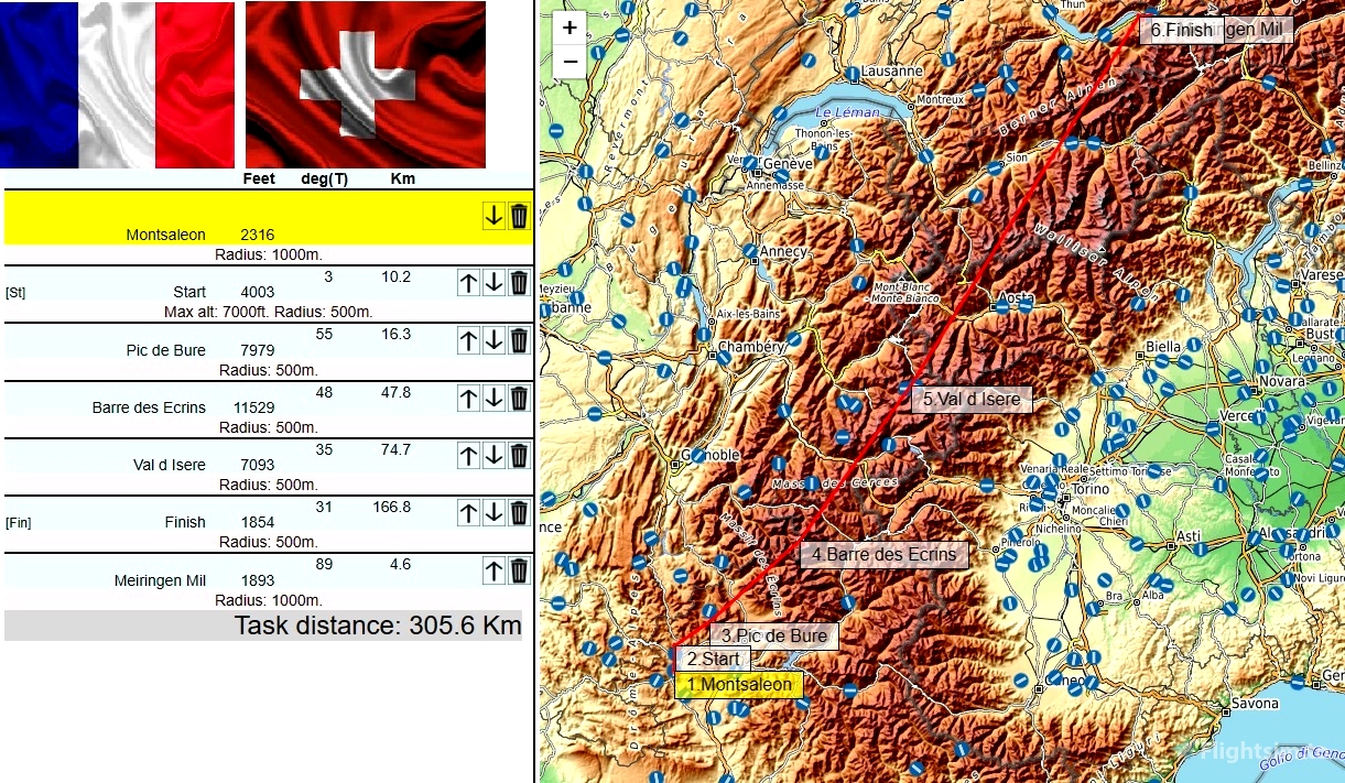
LFTM Montsaleon 2324
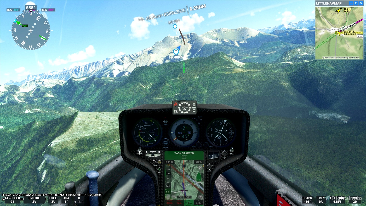
OK go to POI1: Start line Elevation 7000 feet Maximum
OK go to POI2:Pic de Bure Elevation 7979 feet
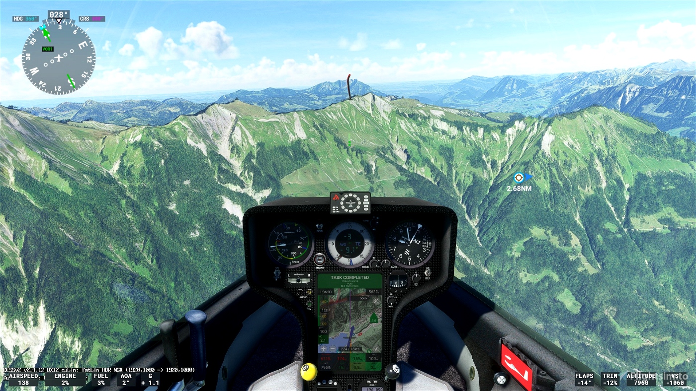
OK go to POI3: Barre des Ecrins. Elevation 11529 feet
OK go to POI4: Val d Isere. Elevation 7093 feet
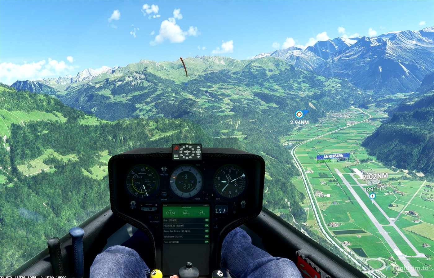
OK go to POI4: Finish. Elevation 1854 feet
go Landing on Meiringen Mil Airport - LSMM 1893 feet
Turn off your main battery when you have landed
autor map and weather : GeorgOrtner
https://discord.com/invite/8TaW8QjH
https://www.youtube.com/GeorgOrtner
https://www.twitch.tv/videos/1534299342
MSFS ALBATROSS
DG Flugzeugbau DG-808S
https://fr.flightsim.to/file/30384/dg-flugzeugbau-dg-808s
Glider Archives - ALBATROSS Racing Club (albatross-racing.club)
JackBilbo
https://fr.flightsim.to/discover/LXN%20Nav%20Replacement
https://fr.flightsim.to/file/41698/dg808s-lxn-nav-replacement

 ADCKillerman

