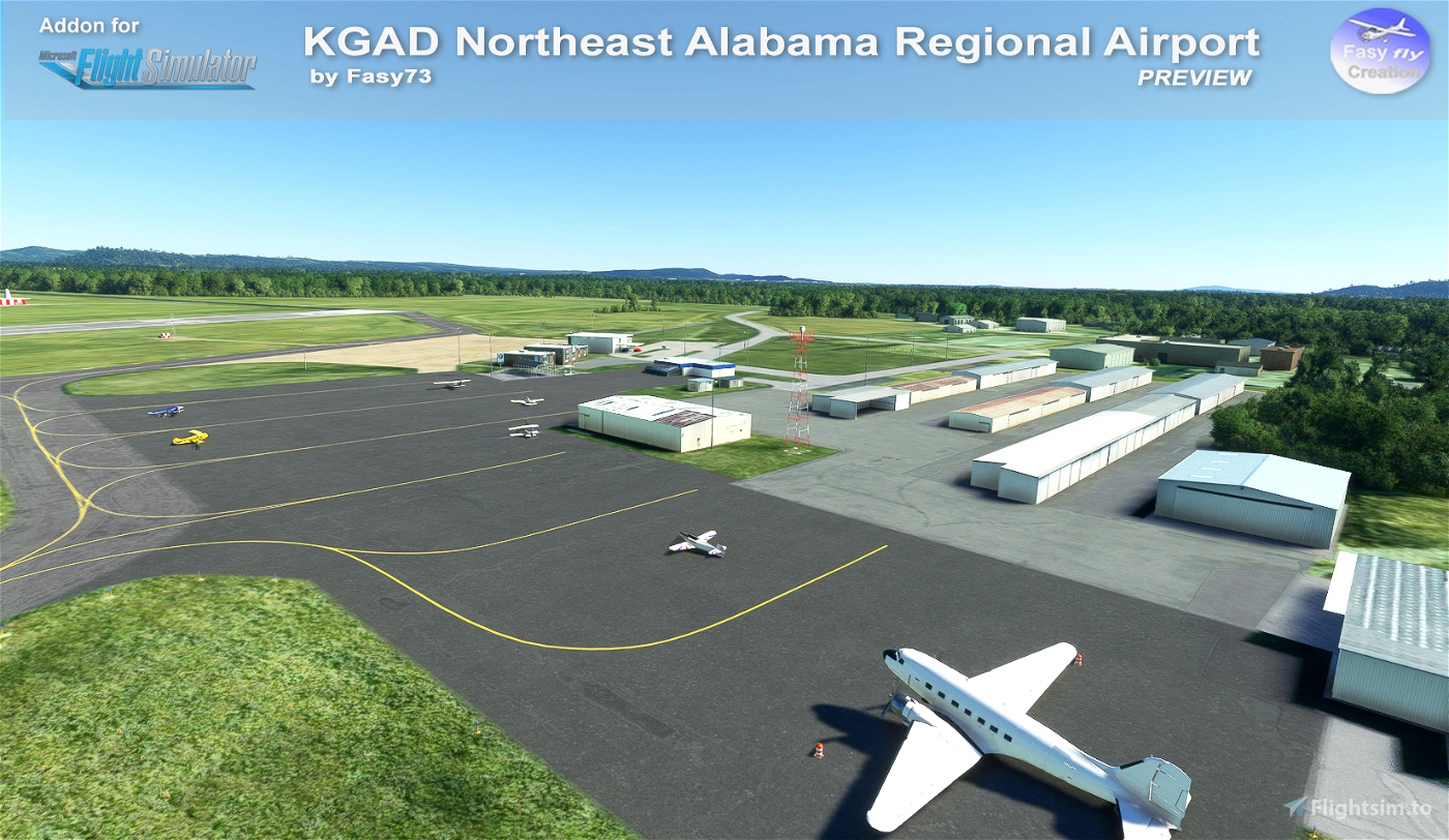
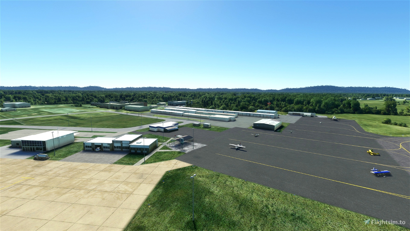

KGAD Northeast Alabama Regional Airport (WIP)
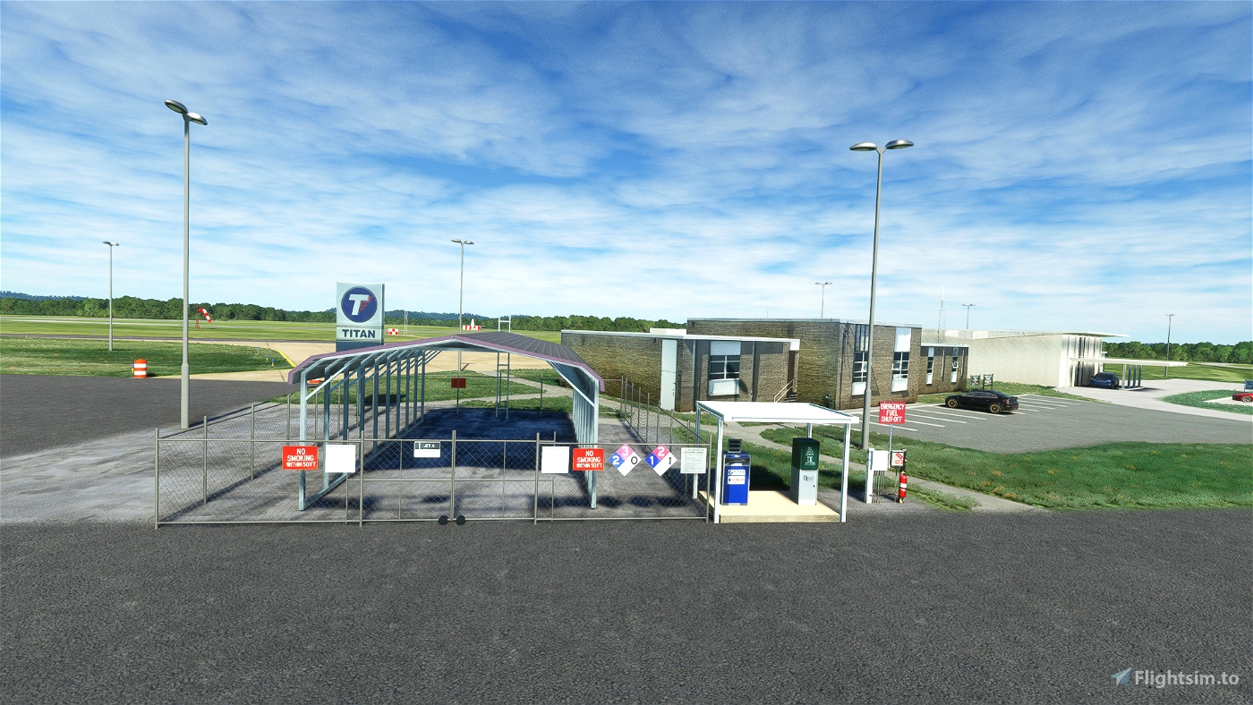
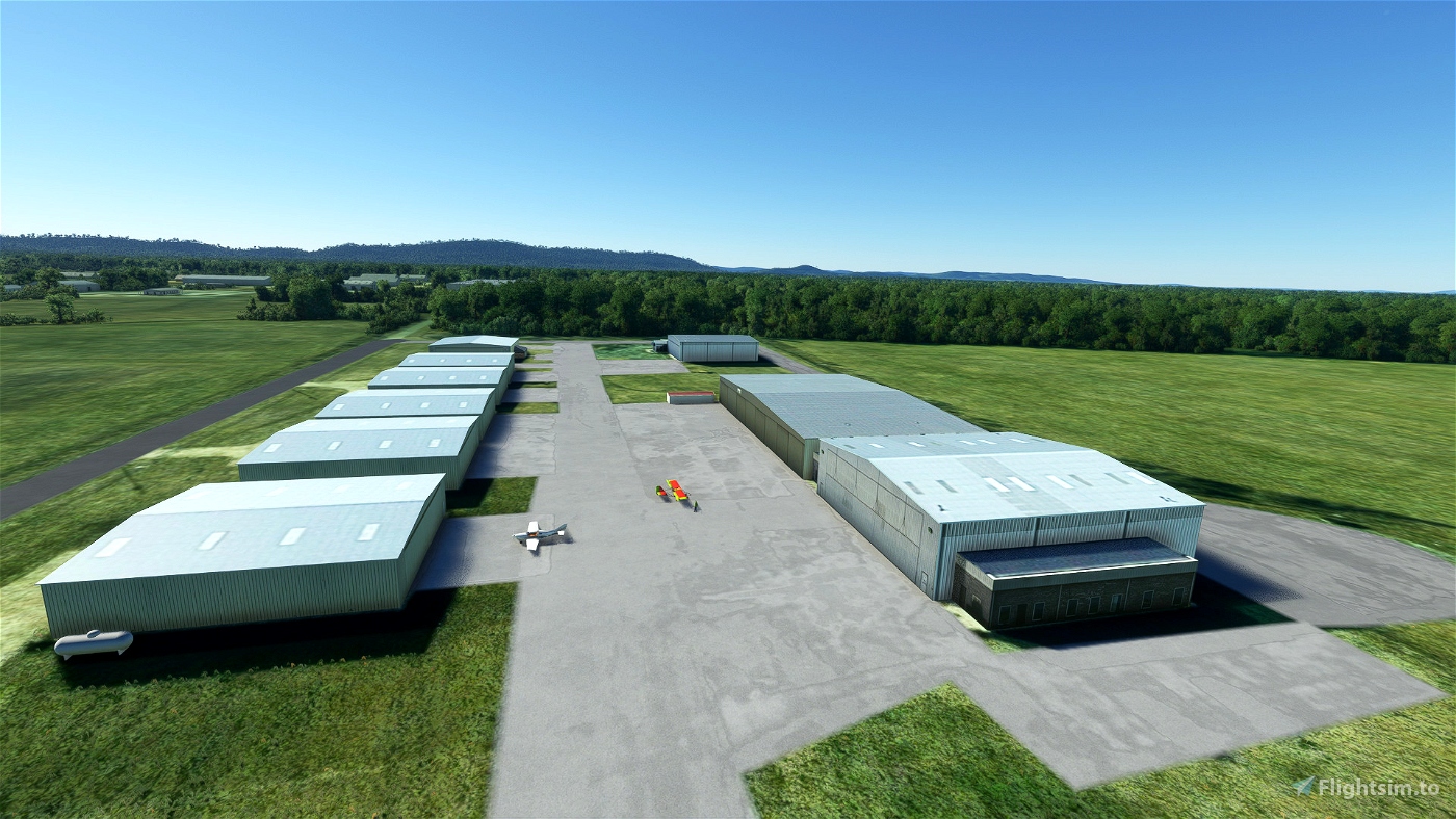
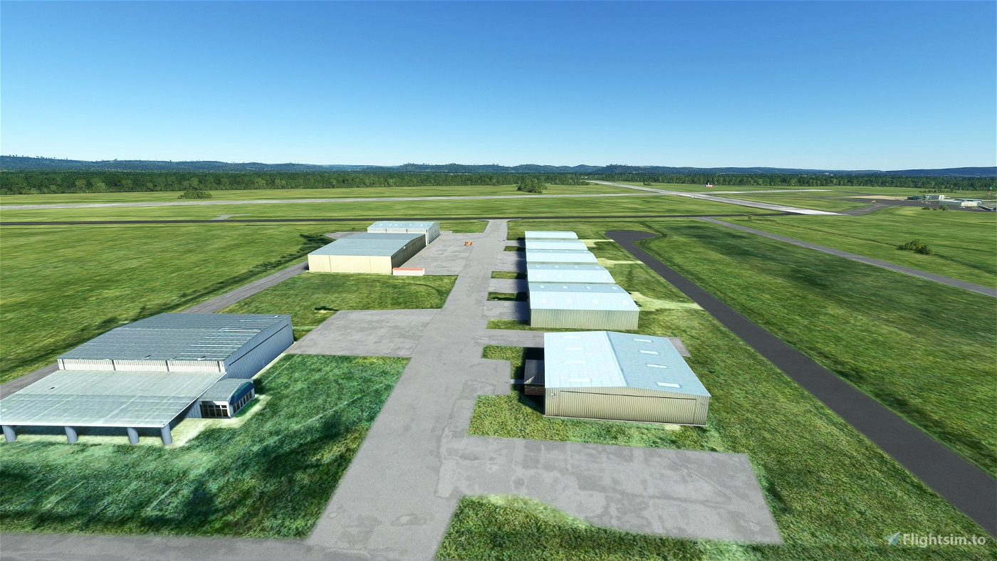
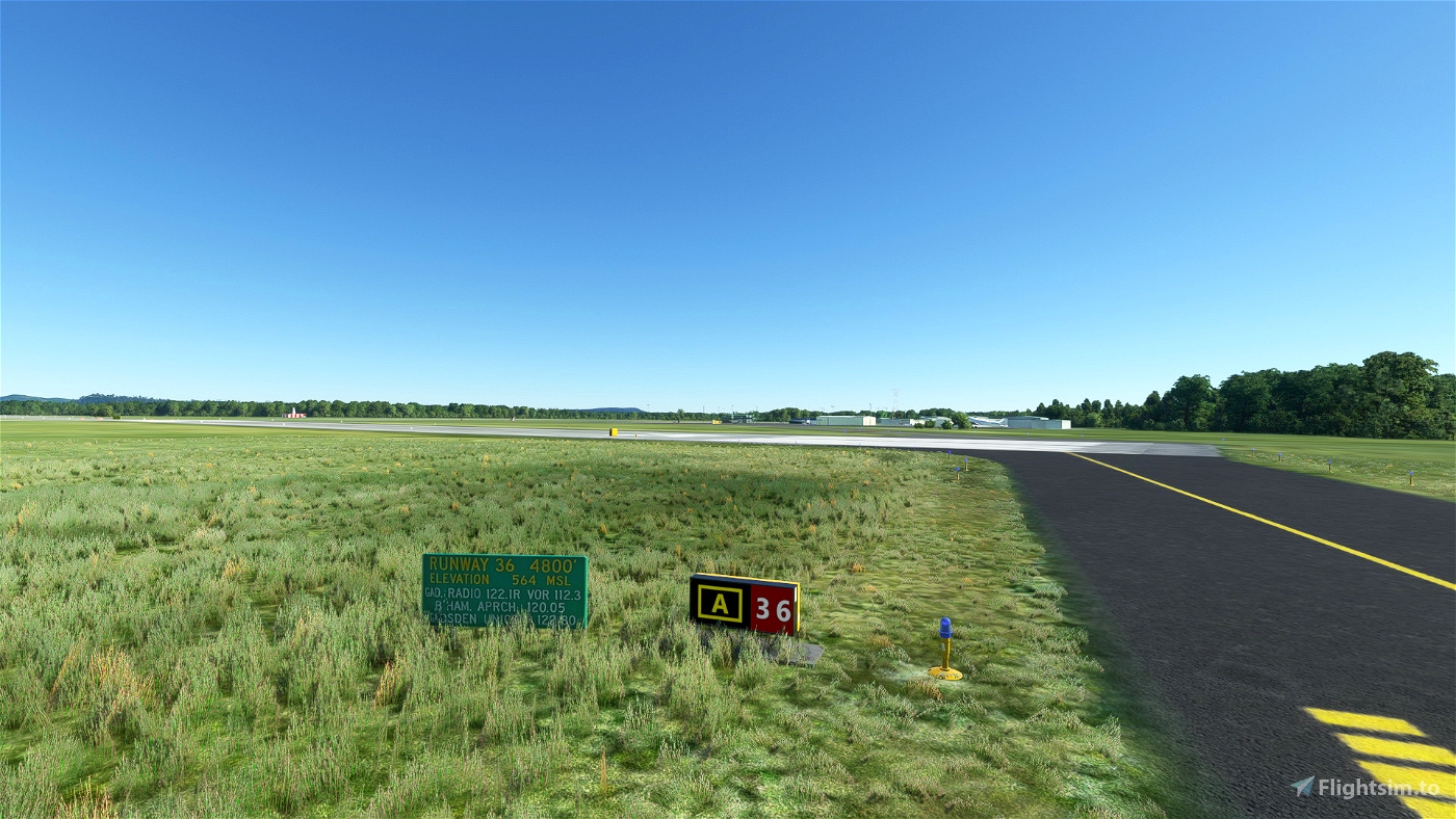
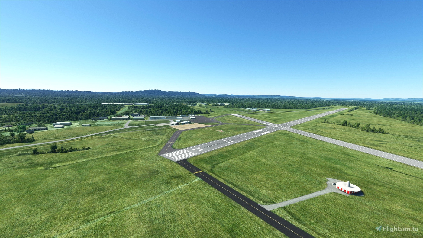
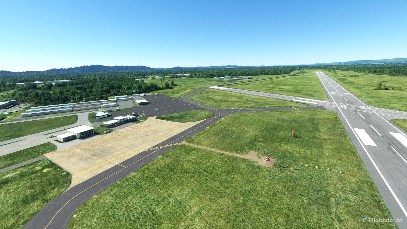
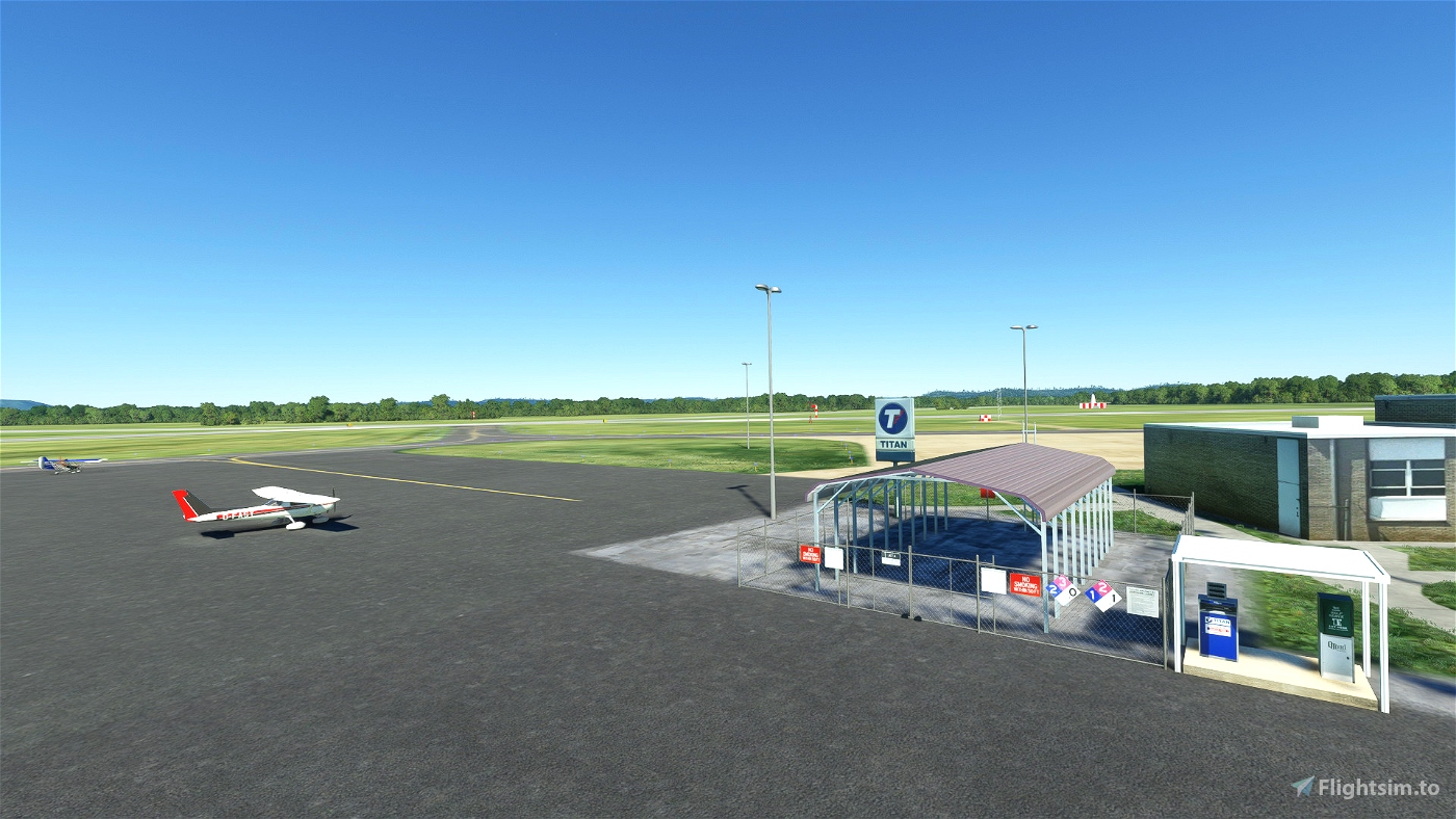
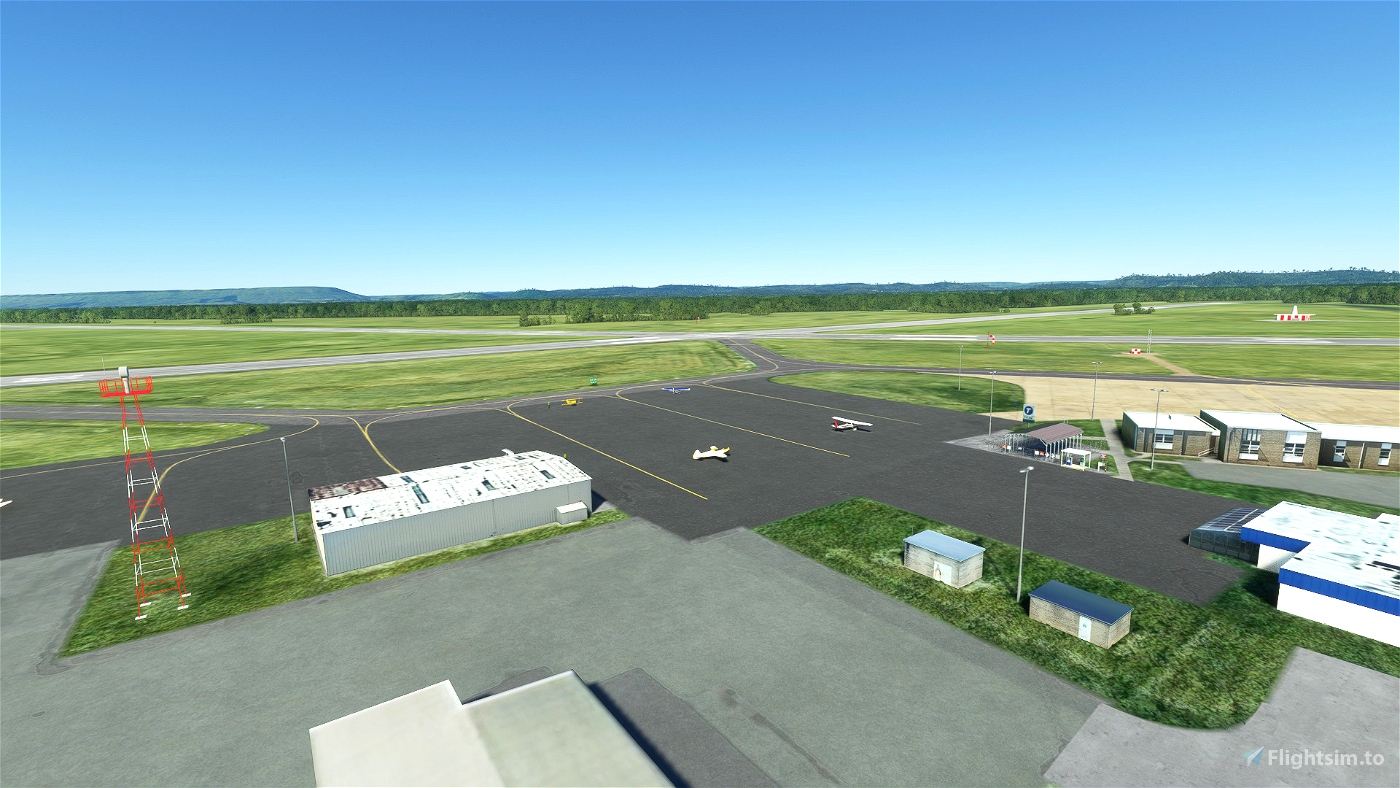
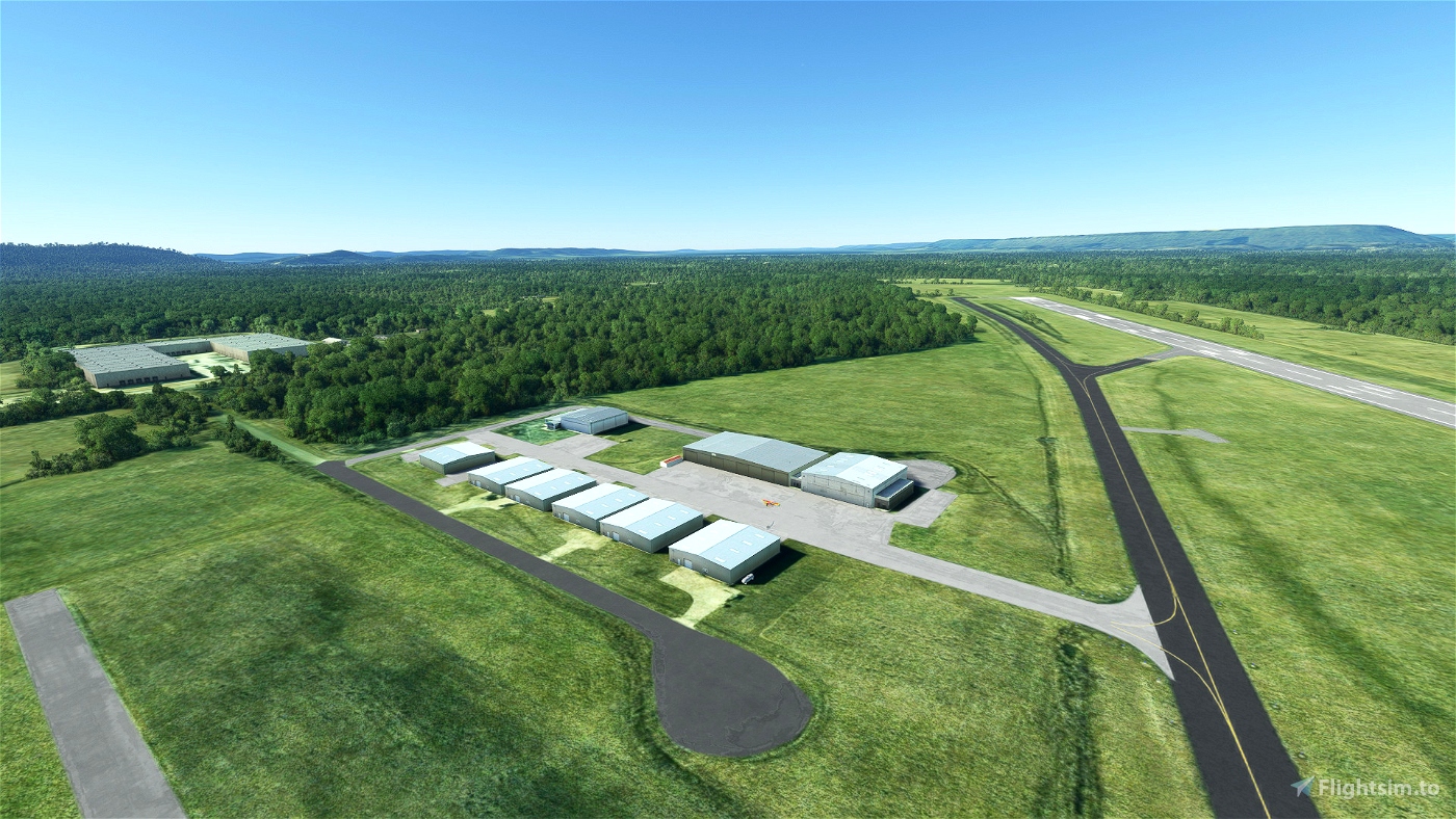
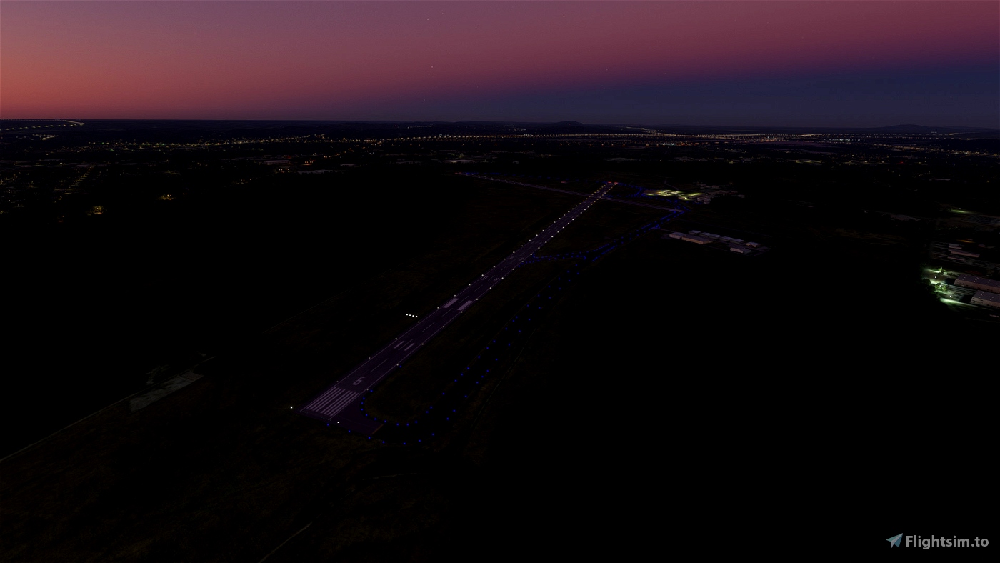
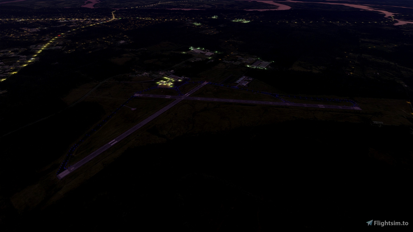
Located in beautiful Gadsden Alabama, the Gadsden Airport is home for many general aviation aircraft and place for business jets. We are proud to have aviation related business located on site, which can be found below. From a short 1.5 mile drive to Interstate 59, you’ll have access to 4 additional state and federal highways that run through our county. We’re a proud supporter of the community and strive to promote the best experience for our pilots, passengers, and surrounding municipalities. The Gadsden Airport has two intersecting runways with the largest of the two being 6,802 feet long, and a width of 150 feet wide. With ILS, and VOR approaches available for the main runway, to having RNAV (GPS) approaches for all runways, we are sure to meet your needs. Courtesy cars are available along with rental car services located nearby. KGAD also home to the flightschool Cofield Aviation CofieldAviation.com
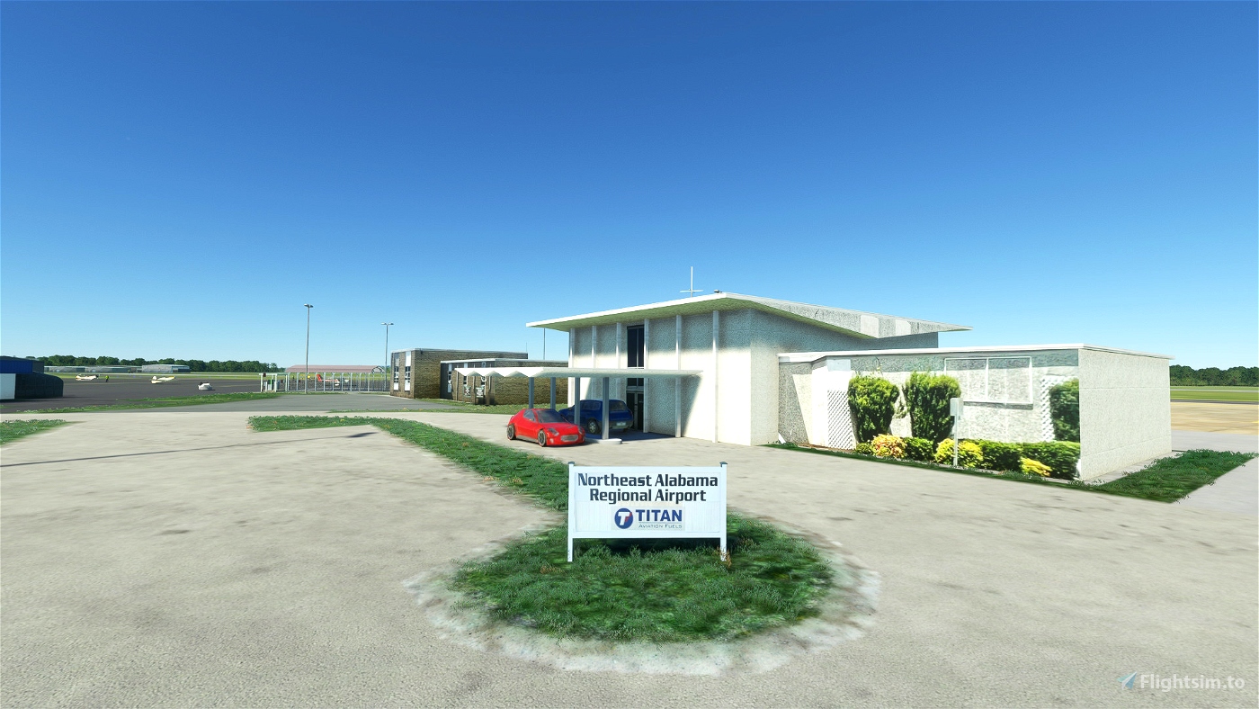
Northeast Alabama Regional Airport (IATA: GAD, ICAO: KGAD, FAA LID: GAD) is five miles southwest of Gadsden, in Etowah County, Alabama. It is owned by Gadsden Airport Authority and it used to be Gadsden Municipal Airport. The FAA's National Plan of Integrated Airport Systems for 2009–2013 categorized as a general aviation facility.
The airport covers 1,480 acres (600 ha) at an elevation of 569 feet (173 m). It has two asphalt runways: 6/24 is 6,802 by 150 feet (2,073 x 46 m) and 18/36 is 4,806 by 150 feet (1,465 x 46 m).
In the year ending July 31, 2019 the airport had 23,886 aircraft operations, average 65 per day: 93% general aviation, 5% air taxi and 2% military. 40 aircraft were then based at this airport: 70% single-engine, 15% multi-engine, 8% jet, 5% glider and 2% helicopter.
Former airlines
- Air New Orleans - mid-1980s
- Atlantic Southeast Airlines - early 1990s
- Southern Airways
The first airline flights were Southern Airways DC-3s in 1949; successor Republic pulled out its Convair 580s in 1981.
Incidents and accidents
On April 9, 1990, a Delta Connection flight operated by Atlantic Southeast Airlines Embraer EMB-120 (Registration N217AS) as Flight 2254, en route to William B. Hartsfield Atlanta International Airport struck a Cessna 172 just after take-off. The Embraer was able to land, but the Cessna was unable to regain control and crashed. Of the seven on the Embraer, there were zero fatalities; the two on board the Cessna were killed. The cause of the crash was attributed to pilots of both aircraft inadequately performing a visual lookout in addition to restricted vision caused by the sun's glare.
Note of thanks
Many thanks for the support to JJ Stevens, who brought this project to life, and the people at Gadson Airport.
Installation
Unzip file, Drag & drop the folder in your Community folder.
Updates
If you like my work and would like to support my coffee drinking habits during modelling and texturing, consider supporting me for Updates.
Copyright / Disclaimer
The author of this package are not liable for any damage caused by the use of this package. This package is free to use. It is however forbidden to distribute and / or use it (in its entirety or its parts) for commercial purposes without an agreement of the author. Furthermore, it is not allowed to alter or use the objects in other sceneries without an agreement of the author of the original objects.

 Fasy73


2 months ago
CaptainMoonlight
5 months ago
bigduke4343
5 months ago
5 months ago
Fasy73
bigduke4343
6 months ago
6 months ago
Fasy73
RayProudfoot
7 months ago
fppilot
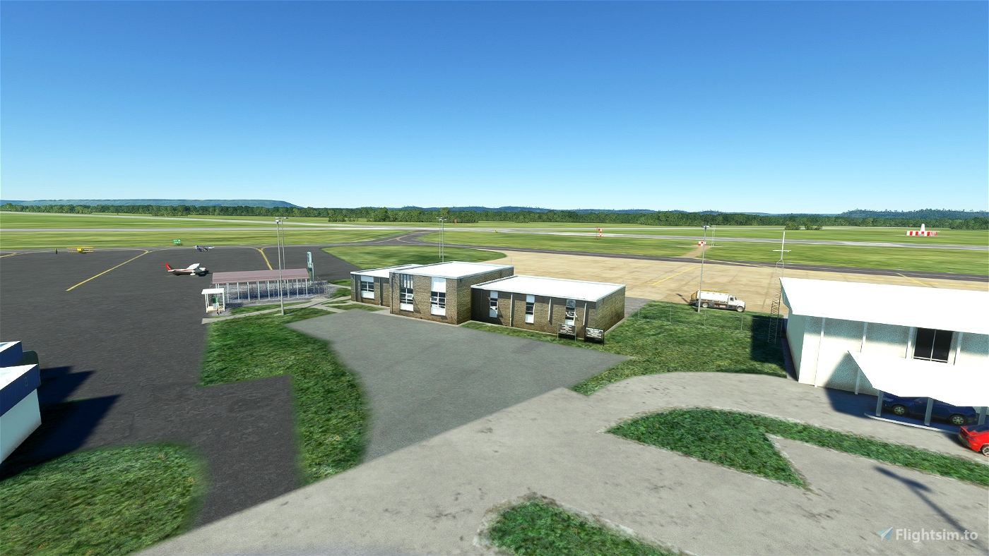
I am looking forward for more surrounding areas being enhanced with further details and also for lite optimizations which are needed for areas around the custom homemade terminals. Good job. Keep going!
7 months ago
7 months ago
Fasy73
Mriya
7 months ago
7 months ago
jjstevens
Chaselikebank_GA
7 months ago
jjstevens
7 months ago
7 months ago
Fasy73
jjstevens