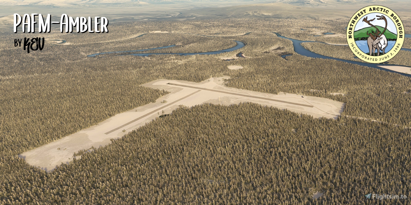
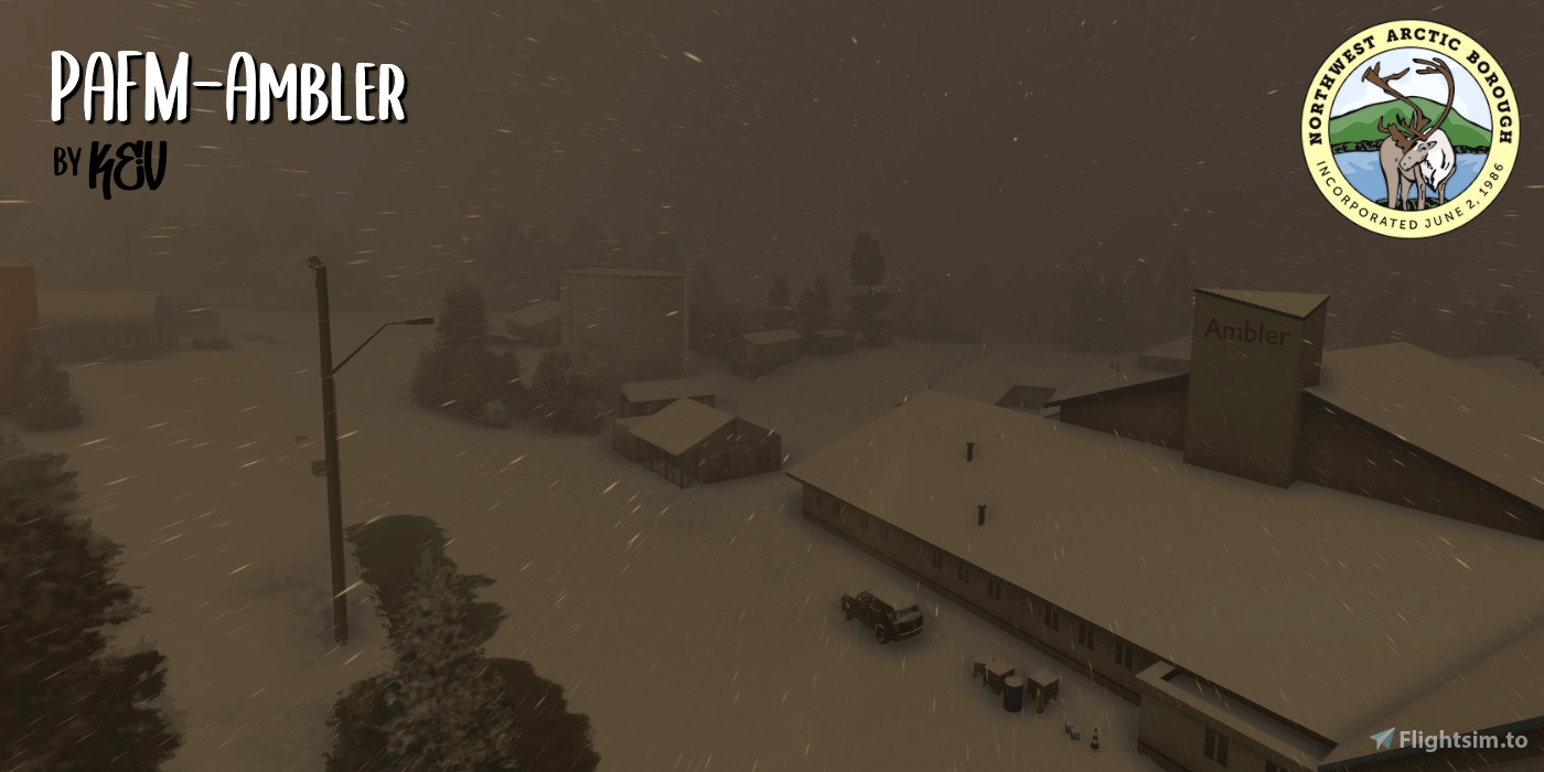
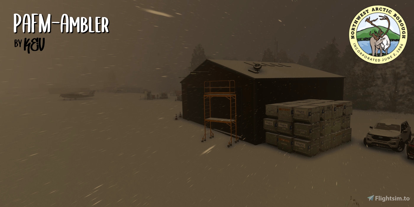
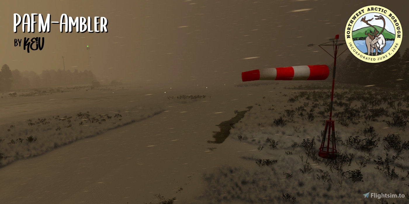
Ambler Airport (PAFM)
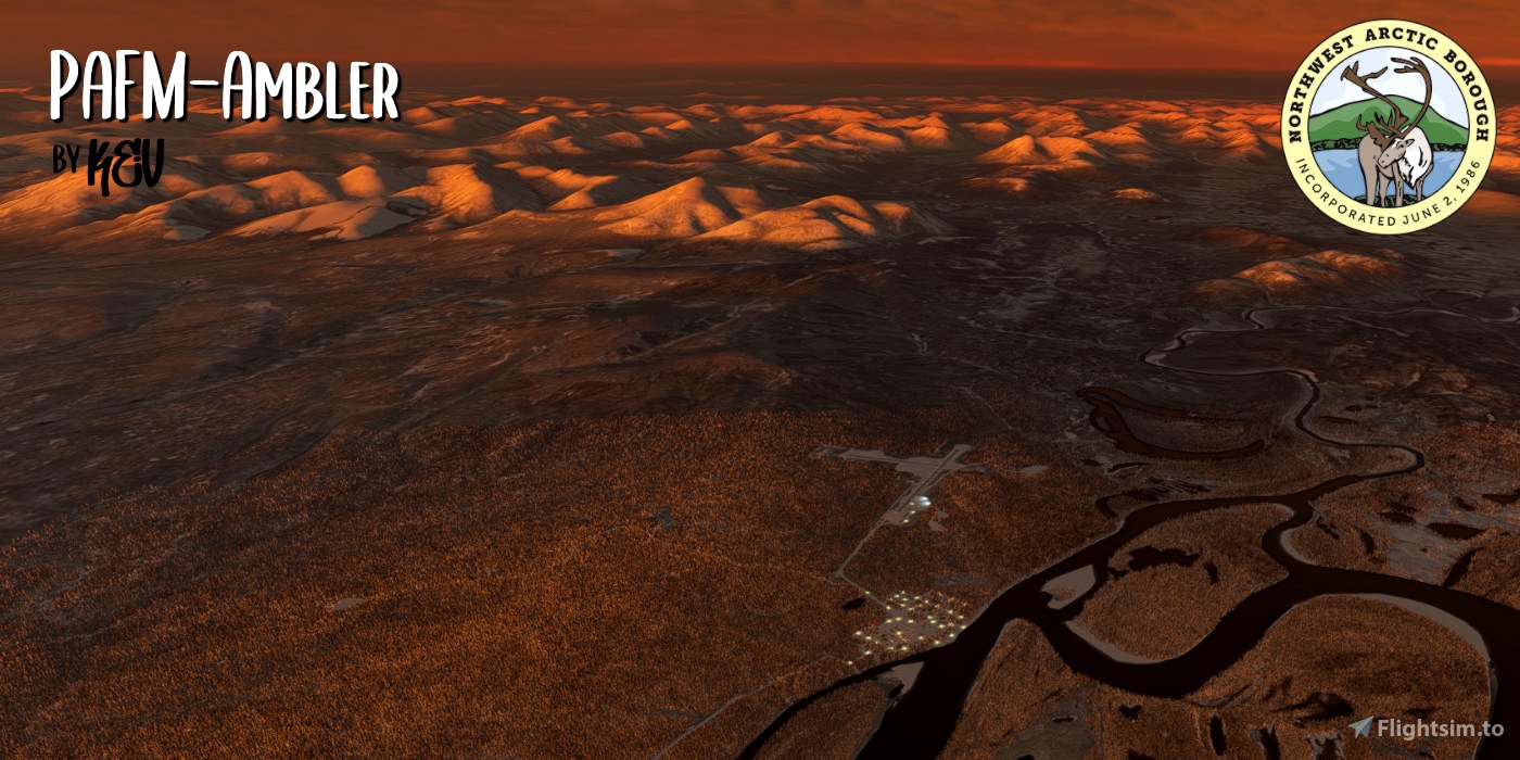
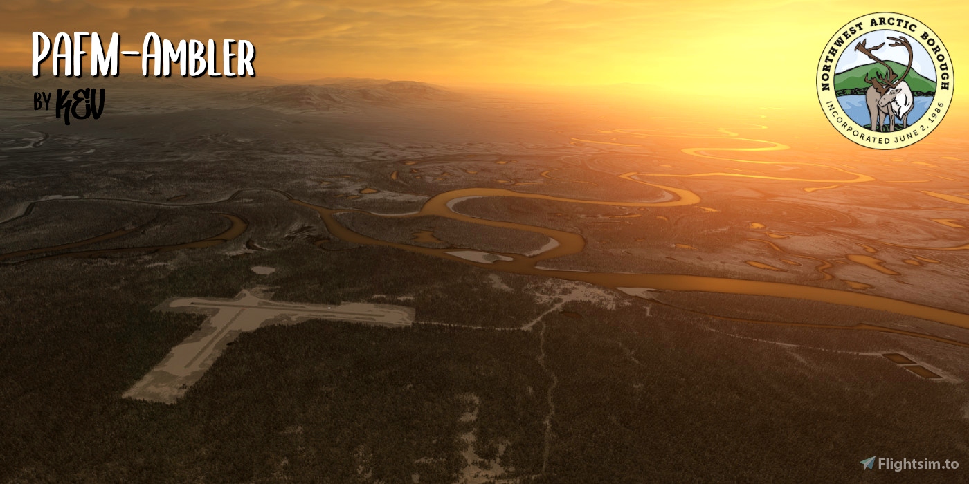
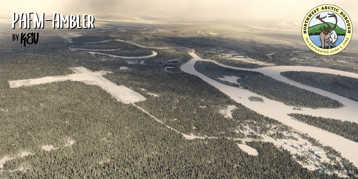
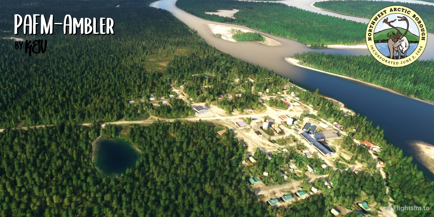
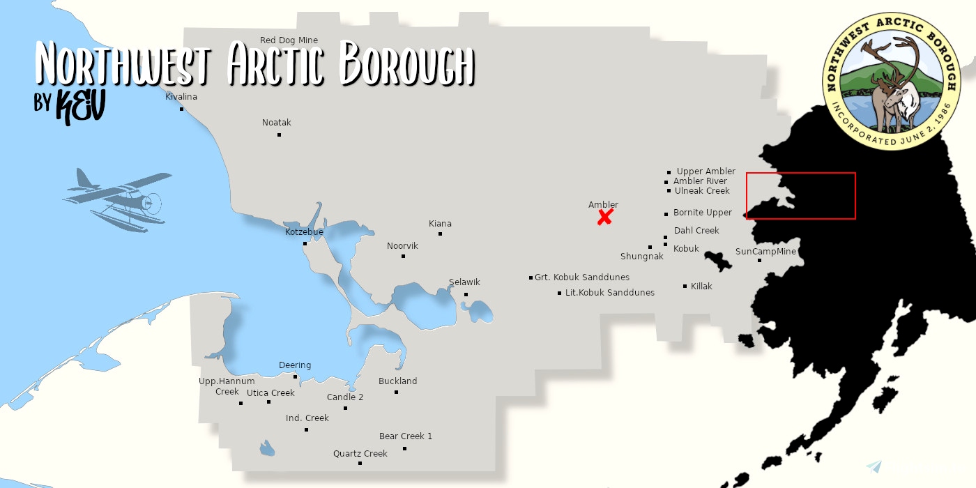
Ambler is located on the north bank of the Kobuk River near the confluence of the Ambler and the Kobuk rivers.
It lies 45 miles north of the Arctic Circle and 138 miles northeast of Kotzebue.
In 1958, people from Shungnak and Kobuk moved upstream because of the abundance of subsistence resources in the area and permanently settled Ambler.
---
Besides the airport, I have also done some work to nearby areas
- Ambler city (south of the airport) - worth a flyby ;)
- The beautiful Jade Mountains (10 miles to the northwest)
- The Kobuk and the Ambler River- Grab a STOL plane and have some fun om the river banks
- Surrounding area in general
---
The Northwest Arctic Borough, the second largest borough in Alaska, covering 40,749 square miles (105,540 km2) of land and water. The region experiences a transitional climate, characterized by long, cold winters and cool summers. Temperatures range from -52 to 85 degrees Fahrenheit (-46 to 30 degrees Celsius).
The region is home to approx. 7715 people, many of these are totally dependent on transporting people and goods by air.
Hope you enjoy the airport.
Happy Flights.
KeV
------------------------------------------
Leave a Rating or a Comment if you feel like it.
------------------------------------------
Disclaimer:
I have never been to this part of the world, nor this particular airport, and this is not meant to be a 100% recreation of the real life airport...
------------------------------------------
This airport is part of a series of airports in this area (Northwest Arctic Borough) that I would like to update... So check my uploads for more ;)

 TheReal.K3V


5 days ago
4 days ago
TheReal.K3V
CaptainMoonlight
2 months ago
2 months ago
TheReal.K3V
55tom55
2 months ago
2 months ago
TheReal.K3V
RvI78
2 months ago
2 months ago
TheReal.K3V
Beowulf99x