
Description
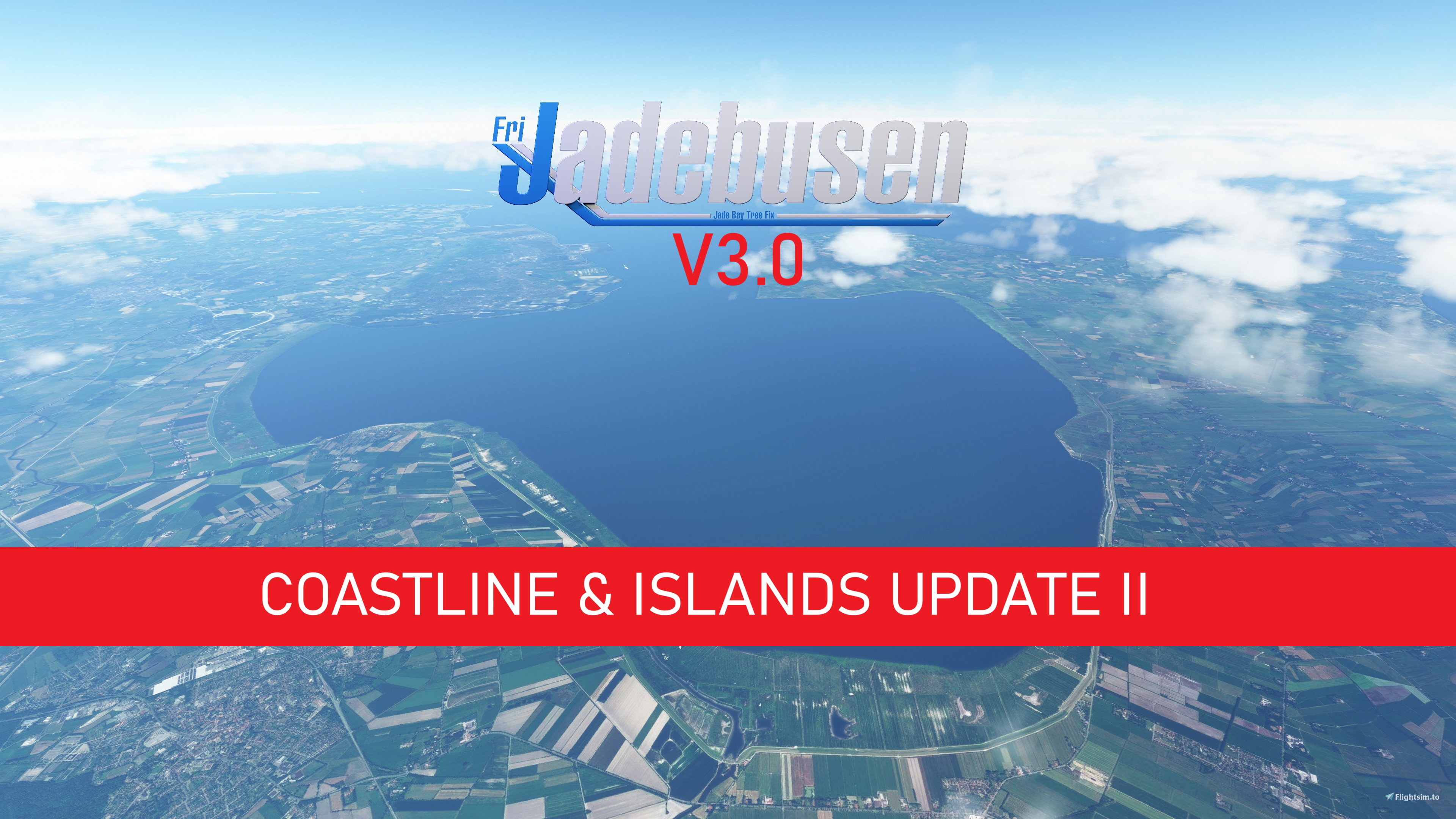
This Mod removes some Autogen Trees on the entire German Coastline of the North Sea & all Islands & Parts of Rivers Ems, Weser and Elbe
Enjoy :)
Diese Mod entfernt überflüssige Bäume an der gesamten Nordseeküste, den Inseln und für Teile der Flüsse Ems, Weser und Elbe.
Viel Spaß :)
Location
Jadebusen Tree fix
A mod that removes trees along parts of the Coast and the Ems and Weser Rivers, providing a more accurate landscape for your flights in Microsoft Flight Simulator.

Avis des utilisateurs
1 avis
Historique des versions
DE: - Update der Küste bis nach Sylt - Elbe bis nach Glückstadt - Kleinere Verbesserungen für alle Inseln EN: - Coastline Update up to Sylt - Elbe River up to Glückstadt - Small improvements for all Islands
Similaires
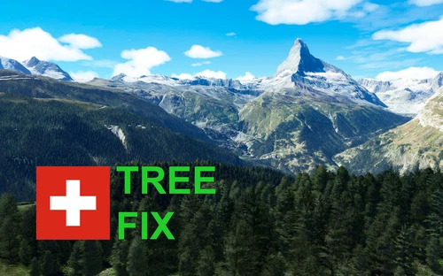
Swiss mountains tree fix (trees on mountains removed)
A comprehensive mod fixing tree placement on Swiss mountains, particularly removing inaccurately placed trees on mountain peaks. The update includes a shift to more realistic conifer trees in the Alps and an expansion to border areas of France, Italy, and Austria. From Alpstein Säntis to Stockhorn, numerous locations across Switzerland have been meticulously corrected for a more authentic flight experience.
par THEOLI4D
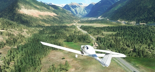
Shorter Trees / Tree Height Modification VERSION 4.0 for MFS2020 (shorter, realistic trees)
Experience realistic and shorter trees in Microsoft Flight Simulator with the Shorter Trees / Tree Height Modification VERSION 4.0 add-on. Compatible with the latest version of MSFS, this mod provides adjusted tree heights for a more authentic flying experience. Update includes enhanced tree coloration blending seamlessly with photogrammetry trees. Installation is simple - just copy the folder into your community folder and enjoy a new perspective from the skies.
par ARIF STUDIOS - Adnan Arif
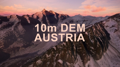
AUSTRIA 10m DEM - High Resolution Terrain Elevation Data from LIDAR Imaging
Explore the stunning terrain of Austria with this mod featuring high-resolution LIDAR data, offering a mesh resolution of 10m for a more realistic flight experience. Flatten lakes, rivers, and eliminate any terrain artifacts as you soar over the Austrian landscape. Divided into regions for convenience and performance optimization, this mod enhances the mountain shapes to mirror reality and provides a smoother flying experience. Experience Austria like never before with enhanced elevation data and realistic terrains.
par Troglodytus
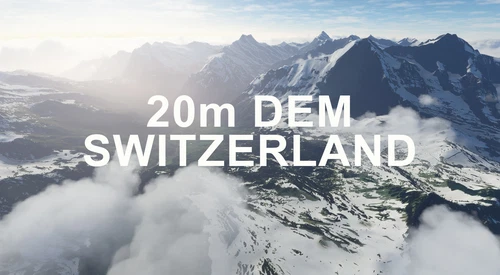
SWITZERLAND 20m DEM - High Resolution Terrain Elevation Data from LIDAR Imaging
Explore the beauty of Switzerland with this mod offering high resolution terrain elevation data using LIDAR imaging. The mesh resolution is 20m, providing exceptional detail with a height resolution of 0.1m. Update includes extreme LIDAR meshes for specific regions. Please note potential performance impacts and report any bugs for further improvements. Fly VFR over Switzerland with enhanced realism and accuracy.
par Troglodytus
Connectez-vous pour participer à la discussion
Se connecterCommentaires(4)
about 12 hours ago
10 months ago
over 2 years ago
BTW: Hopefully in future Microsoft may improve their vegetation - models and Generating- KI tools. Actual M$-Trees are too primitive represented..
over 3 years ago
Moin! Jou man danke dafür, gibt nur wenige hier, die sich für den A.... der Welt interessieren, dabei ist es hier doch souuu schön.