Airports→Remote Airstrips
FARA - Petit Airfield Benoni South Africa MSFS2024
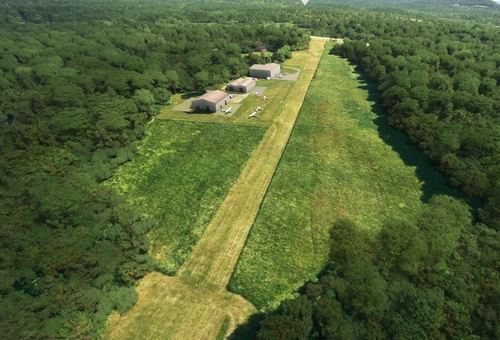
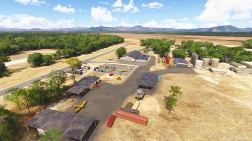
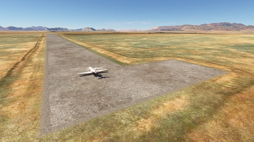
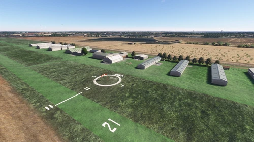
This add-on recreates Petit Airfield (FARA), a public general aviation and microlight airport in Benoni, South Africa, within MSFS 2024. The airfield is situated near OR Tambo International Airport and serves as a hub for light sport aviation, flight training, and microlight scenic tours. Accurate scenery and layout are provided for enhanced realism. Additional object libraries may be required for full functionality.
DangerousBanana
MSFS2024
0.0(0)
87
48 KB
1 month ago