
Description
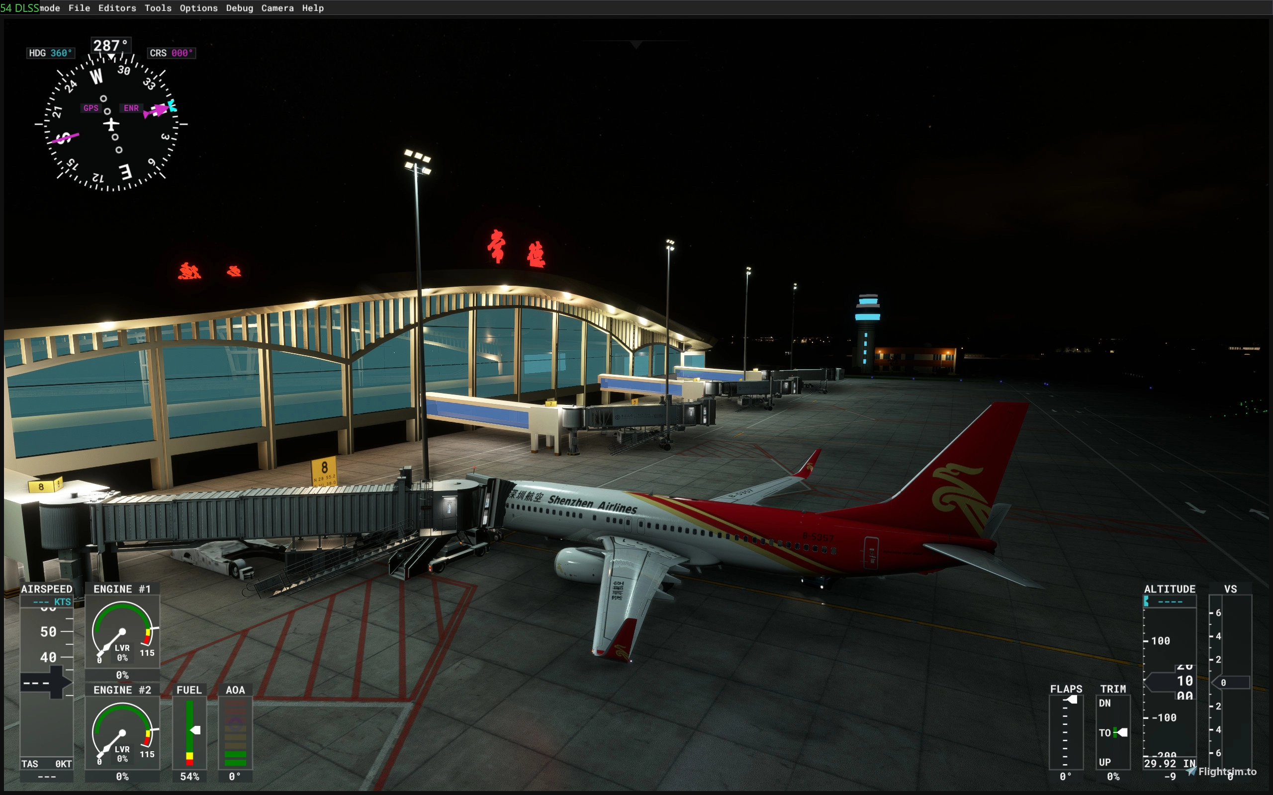
常德桃花源机场(Changde Taohuayuan Airport,IATA:CGD,ICAO:ZGCD),位于中国湖南省常德市鼎城区斗姆湖街道桃花源路,东北距常德市中心13千米,为4D级国内支线机场,与长沙黄花国际机场、张家界荷花国际机场互为备降机场。1959年12月10日,常德斗姆湖机场开工;1960年12月,常德斗姆湖机场通航;1965年4月15日,常德斗姆湖机场开通民航;1991年10月28日,常德斗姆湖机场飞行区指标变更为3B;1996年8月30日,常德斗姆湖机场飞行区指标变更为4C;1999年8月4日,常德斗姆湖机场更名为常德桃花源机场;2015年,常德桃花源机场飞行区指标变更为4D。
Changde Taohuayuan Airport (IATA: CGD, ICAO: ZGCD) is located on Taohuayuan Road, Doumuhu Sub-district, Dingcheng District, Changde City, Hunan Province, China. It is 13 kilometers northeast of downtown Changde, serving as a Class 4D domestic regional airport and an alternate airport for both Changsha Huanghua International Airport and Zhangjiajie Hehua International Airport .The airport, then named Changde Doumuhu Airport, broke ground on December 10, 1959, and opened to traffic in December 1960. It launched civil aviation services on April 15, 1965. Its flight zone index was upgraded to Class 3B on October 28, 1991, and further to Class 4C on August 30, 1996 . The airport was renamed Changde Taohuayuan Airport on August 4, 1999, and its flight zone index was upgraded to Class 4D in 2015.
ILS/DME:ICD 108.500,磁航向017°,仅02号跑道有I类精密进近程序,ILS信号PMDG以及IFLY可接收,如无法接收到ILS频率,请尝试使用排序功能。
Location
Changde Taohuayuan Airport
Changde Taohuayuan Airport (IATA: CGD, ICAO: ZGCD) is a Class 4D domestic regional airport located in Changde City, Hunan Province, China, approximately 13 kilometers northeast of the city center. Initially opened in December 1960 as Changde Doumuhu Airport, it has undergone several upgrades in flight zone classification over the decades. The airport serves as an alternate facility for Changsha Huanghua and Zhangjiajie Hehua International Airports, providing essential connectivity for regional air travel.


Avis des utilisateurs
3 avis
Historique des versions
添加了ZGCD的终端程序,使其可以被使用默认数据的机模使用。 Added terminal procedures for ZGCD, enabling compatibility with aircraft using default navigation data.
Présent dans des collections(1)



Similaires
ZGCJ Huaihua Zhijiang Airport
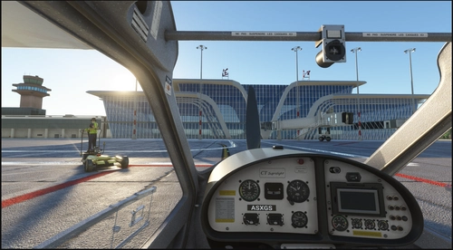
This add-on recreates Huaihua Zhijiang Airport (ZGCJ) in Hunan Province, China, a historic joint military-civilian airport with origins dating back to 1936. The scenery includes the extended 2600-meter runway, supports ILS on Runway 04 at frequency 108.700, and provides both airport and navigation data files. The navigation data is compatible only with aircraft using the default navigation database. Certain textures require additional add-ons such as SS3D’s ZSAM, ZUCK and kui’s ZUKD for full visual fidelity.
par hj150115
Yueyang Sanhe Airport
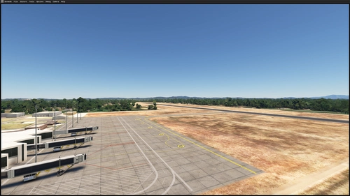
Yueyang Sanhe Airport is a domestic feeder airport located in Hunan Province, China, 17 kilometers from downtown Yueyang. This scenery package features integrated NAIP navigation data, including local VOR (DYY) and ILS (IEY) facilities, with the ILS available only for Runway 36. Aircraft using default simulator data can access custom approach and departure procedures. This is a simplified version, with future updates planned to improve terminal modeling and airport details.
par hj150115
ZSWY Navdata
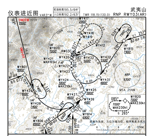
This addon provides updated NAIP navigation data for Wuyishan Airport ZSWY, including additional NDBs, an ILS facility, and a local VOR missing from the default simulator. The dataset is intended for use in Microsoft Flight Simulator. The RNP AR approach for Runway 03 is listed as RNAV-Z due to SDK limitations. Users may need to apply sorting if navigation data is not recognized.
par hj150115
Connectez-vous pour participer à la discussion
Se connecterCommentaires(17)
3 months ago
3 months ago
3 months ago
3 months ago
7 months ago
7 months ago
7 months ago
7 months ago
7 months ago
7 months ago
7 months ago
7 months ago
8 months ago
7 months ago
8 months ago
8 months ago
8 months ago