
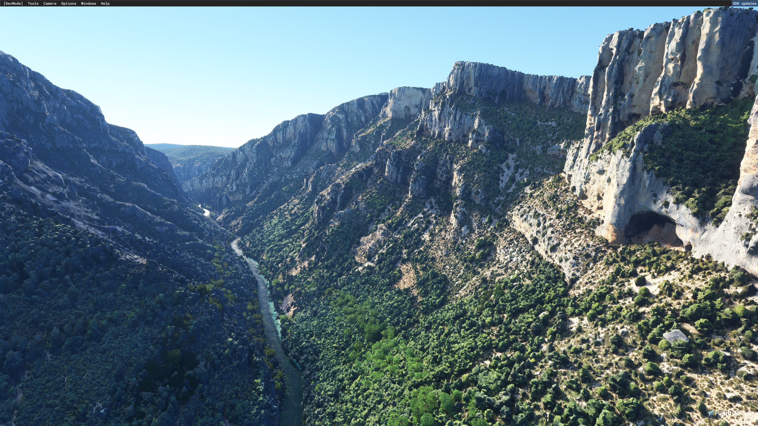
Description
Download both files verdon1.rar and verdon2.rar unrar to community folder (total after decompression= 5 files)
LOD; 17-20
I’ll add light version , cover large area soon
tell me in the comment if anyone issue or suggestions?
Sub to my YT (demo ken) if u like to support me!
------------------------------------------------------------------------
CREDITS:
Big thanks to Jonahex111 and Thalixte for their excellent tools :
1 - Google Earth Decoder Tool: Made by Jonahex111
https://www.reddit.com/r/FS2020Creation/comments/j3faaj/google_earth_decoder_now_userfriendly/
2 - Optimization Tools Made by Thalixte: https://flightsim.to/file/26245/google-earth-decoder-optimization-tools-gedot-blender-addon
3- Blender: https://www.blender.org/download/
----------------------------------------------------------
f you like my work and you would like to donate to support mel you can do so here:
paypal.com/donate/?hosted_button_id=LBFVSXMFAS45G
contact me: demi_fred@yahoo.com or demotyken@gmail.com
Location
Verdon gorges [High detail]
The Verdon gorges, Verdon canyon or Grand Canyon are a set of gorges in France located in Provence, between the Alpes-de-Haute-Provence and the Var. Carved by the Verdon in the middle of its course, they separate the Préalpes de Castellane to the south from the Préalpes de Digne to the north, forming a narrow valley 25 kilometers long and reaching up to 700 meters deep.
Soutiens

Avis des utilisateurs
2 avis
Historique des versions
Aucun historique de version disponible.
Similaires
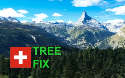
Swiss mountains tree fix (trees on mountains removed)
A comprehensive mod fixing tree placement on Swiss mountains, particularly removing inaccurately placed trees on mountain peaks. The update includes a shift to more realistic conifer trees in the Alps and an expansion to border areas of France, Italy, and Austria. From Alpstein Säntis to Stockhorn, numerous locations across Switzerland have been meticulously corrected for a more authentic flight experience.
par THEOLI4D
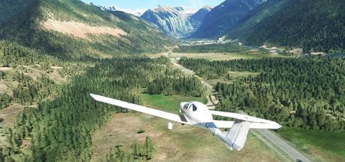
Shorter Trees / Tree Height Modification VERSION 4.0 for MFS2020 (shorter, realistic trees)
Experience realistic and shorter trees in Microsoft Flight Simulator with the Shorter Trees / Tree Height Modification VERSION 4.0 add-on. Compatible with the latest version of MSFS, this mod provides adjusted tree heights for a more authentic flying experience. Update includes enhanced tree coloration blending seamlessly with photogrammetry trees. Installation is simple - just copy the folder into your community folder and enjoy a new perspective from the skies.
par ARIF STUDIOS - Adnan Arif
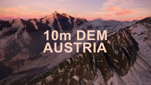
AUSTRIA 10m DEM - High Resolution Terrain Elevation Data from LIDAR Imaging
Explore the stunning terrain of Austria with this mod featuring high-resolution LIDAR data, offering a mesh resolution of 10m for a more realistic flight experience. Flatten lakes, rivers, and eliminate any terrain artifacts as you soar over the Austrian landscape. Divided into regions for convenience and performance optimization, this mod enhances the mountain shapes to mirror reality and provides a smoother flying experience. Experience Austria like never before with enhanced elevation data and realistic terrains.
par Troglodytus
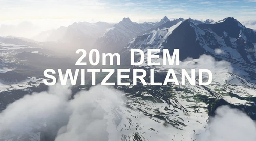
SWITZERLAND 20m DEM - High Resolution Terrain Elevation Data from LIDAR Imaging
Explore the beauty of Switzerland with this mod offering high resolution terrain elevation data using LIDAR imaging. The mesh resolution is 20m, providing exceptional detail with a height resolution of 0.1m. Update includes extreme LIDAR meshes for specific regions. Please note potential performance impacts and report any bugs for further improvements. Fly VFR over Switzerland with enhanced realism and accuracy.
par Troglodytus
Connectez-vous pour participer à la discussion
Se connecterCommentaires(22)
12 days ago
over 3 years ago
cant see addon only default msfs :
almost 4 years ago
Hello,
Many thanks, fantastic rendering 8)
However I had catastrophic performances on my environment, even with a decent config (i7 12700KF, 32Go RAM, RTX 3080 12G).
Around the covered area, the framerate dropped below 10ips, the sound became very scattered. GPU was around 50% use, CPU very low, but RAM and VRAM were almost at 100%.
Tried to lowered the terrain details slider from 400 to 200 but no luck :/
Does anyone has any tips for the scene to run better ?
almost 4 years ago
Fantastic scenery and keep up the excellent work. However, unfortunately, I had to delete this add-on as some textures were missing which i believe is on my part And didn't like the plastic trees as it does ruin this overall speculator addition
almost 4 years ago
Ce que j'ai vu est très très beau sauf que je ne vois qu'une très courte partie des gorges. Quelle partie des gorges je suis supposer voir ? De chaque coté du grand lac où juste la partie à l'est ?
almost 4 years ago
je prépare une version "Light" ou je reprend les gorges à partir du lac
almost 4 years ago
Parfait alors.
almost 4 years ago
You need a very powerful computer to enjoy the eye ... Otherwise, you can only look at pictures on Google. Overall good job.
almost 4 years ago
Bonsoir et un grand merci pour le formidable travail !
Petite question : en décompressant le zip j'ai bien les deux dossiers verdon1 & 2 mais également un verdon4. A t-il une utilité ? Et du coup devrait-il y avoir un verdon3 ?
Merci encore !
almost 4 years ago
Bonsoir, c'est le contenu du fichier rar verdon1.rar ou Main File, il ya un deuxieme fichier verdon2.rar à télécharger contenant demoken-verdon3 et demoken-verdon5 ! ........Au total 5 dossiers.
Thx for the comment!
almost 4 years ago
super. hâte d'essayer. le contour du lac de Sainte-Croix est prévu ?
almost 4 years ago
bonjour, je suis dessus… le lac n'est qu'a moitié modélisé par google hélas, mais je vais uipload une version light de toute la région + gorges du verdon...thanks for the comment!
almost 4 years ago
grand merci pour le travail. Je suis un grand amateur de la région !
almost 4 years ago
Hello.
You also plan to extend the high detail version till the lake of Sainte-Croix? I think the lake looks good enough in MSFS. And Also the photogrammetry data on google maps seems to stop at the place Le Verdon opens into the lake.
almost 4 years ago
hi zaelu, Yes !
almost 4 years ago
WOW! This is what we want, more photogrametry natural landscapes! Very well done the color match with the original terrain. I love it!
almost 4 years ago
thanks!
almost 4 years ago
super boulot, merci ;)
almost 4 years ago
Bonsoir, ça m’a pris 2 j ! mais bon ça vaut le coup, super région ! merci à toi :)
almost 4 years ago
Thank you for your work!!