
Description
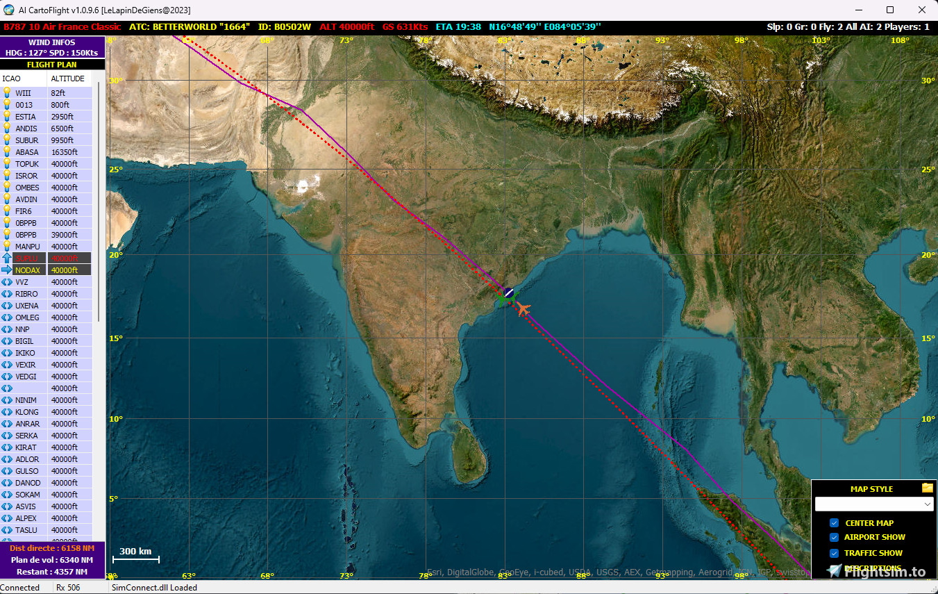
AI visualization tools.
Allows you to view AI procedures and behavior around you over a 200km radius
Each procedure has a different color.
This is a first version that will evolve with the request for functionality.
This tool is a light view so as not to take resources already well overloaded by MSFS 2020.
For uses This it must be install simconnect .
AI CartoFlight v1.0
AI visualization tools. Allows you to view AI procedures and behavior around you over a 200km radius Each procedure has a different color. This is a first version that will evolve with the request for functionality. This tool is a light view so as not to take resources already well overloaded by MSFS 2020.


Avis des utilisateurs
3 avis
Historique des versions
- Flight Plan in GPS and PLN File can load - if you are load a flight plan -> wind infos and distance Infos
Similaires
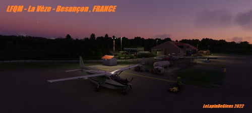
LFQM - La Vèze Besançon, FRANCE
Experience LFQM - La Vèze Besançon in France, a meticulously crafted aerodrome created using Blender and the MSFS SDK. Thanks to Zaibu for beta testing this 3D creation, made with tools like Blender, Gimp, and the FS2020 SDK.
par LeLapinDeGiens
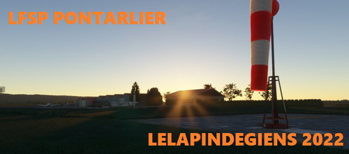
LFSP Pontarlier , FRANCE
Explore the scenic LFSP Pontarlier in France with this add-on for Microsoft Flight Simulator. Developed using MSFS SDK, Blender, and Gimp, this version offers a fresh perspective to your flights. Enjoy a new flying experience and have a great weekend!
par LeLapinDeGiens
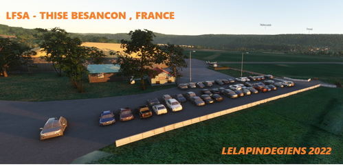
LFSA - Thise Besançon , FRANCE
Experience flying in the beautiful city of Besançon, France with this highly anticipated LFSA scenery add-on. Enhance your flights with a more detailed aero club in the area. Developed using MSFS SDK and Blender, get ready for a pleasant flying experience. Happy flying to all pilots!
par LeLapinDeGiens
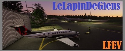
LFEV - Gray Saint Adrien , FRANCE
Experience the enhanced LFEV - Gray Saint Adrien in France, featuring an extended runway to accommodate larger aircraft. This small aerodrome in Haute Saône is home to Pilatus and Jet maintenance companies, offering a unique aviation setting near Gray. Explore this evolving civil airfield located 2.5 km southeast of Gray, Bourgogne-Franche-Comté, with ongoing updates to reflect the latest technical standards.
par LeLapinDeGiens
Connectez-vous pour participer à la discussion
Se connecterCommentaires(10)
over 3 years ago
Thank you, this works great! It reminds me of the old traffic tools program from the FSX/P3D days!
Request: would you consider adding the simconnect object number to the description data (or perhaps an option to add it because I realize most users are probably not interested in that number)?
The reason I ask is that your utility is an extremely helpful debugging tool for the simconnect traffic programs that I'm working on. The object number is the easiest number to help me cross-reference what I'm seeing on GUI of your program and what is happening with my simconnect programs internally.
Thanks again!
over 3 years ago
Hello , ObjectID is OK in visual map :) you can download this version here https://www.tsiconcept.eu/Fichiers/AIInfoCarto%20With%20ObjectID.zip
over 3 years ago
really love the application works well, would see more airport runway procedures like what runways a aircraft is taken off and landing and what gate or pranking number it going to and the one con i don't like is the overlap text descriptions
over 3 years ago
I gave this a try today and it sems to be working well. The one feature I would like to add is the option to hide airports from the map. At least in North America, there are so many local and regional airports, and in some cases, private airstrips and such, that the map looks very cluttered.
over 3 years ago
OK no problemo , for the next version i do this :)
over 3 years ago
It's ok in the new version :)
over 3 years ago
nice update thank you
over 3 years ago
Nice application.
would it be possible to see my friends on the map.
THANKS
over 3 years ago
Yes if your friend use CartoFlight :) Thanks
over 3 years ago
Next Version Tomorrow !