
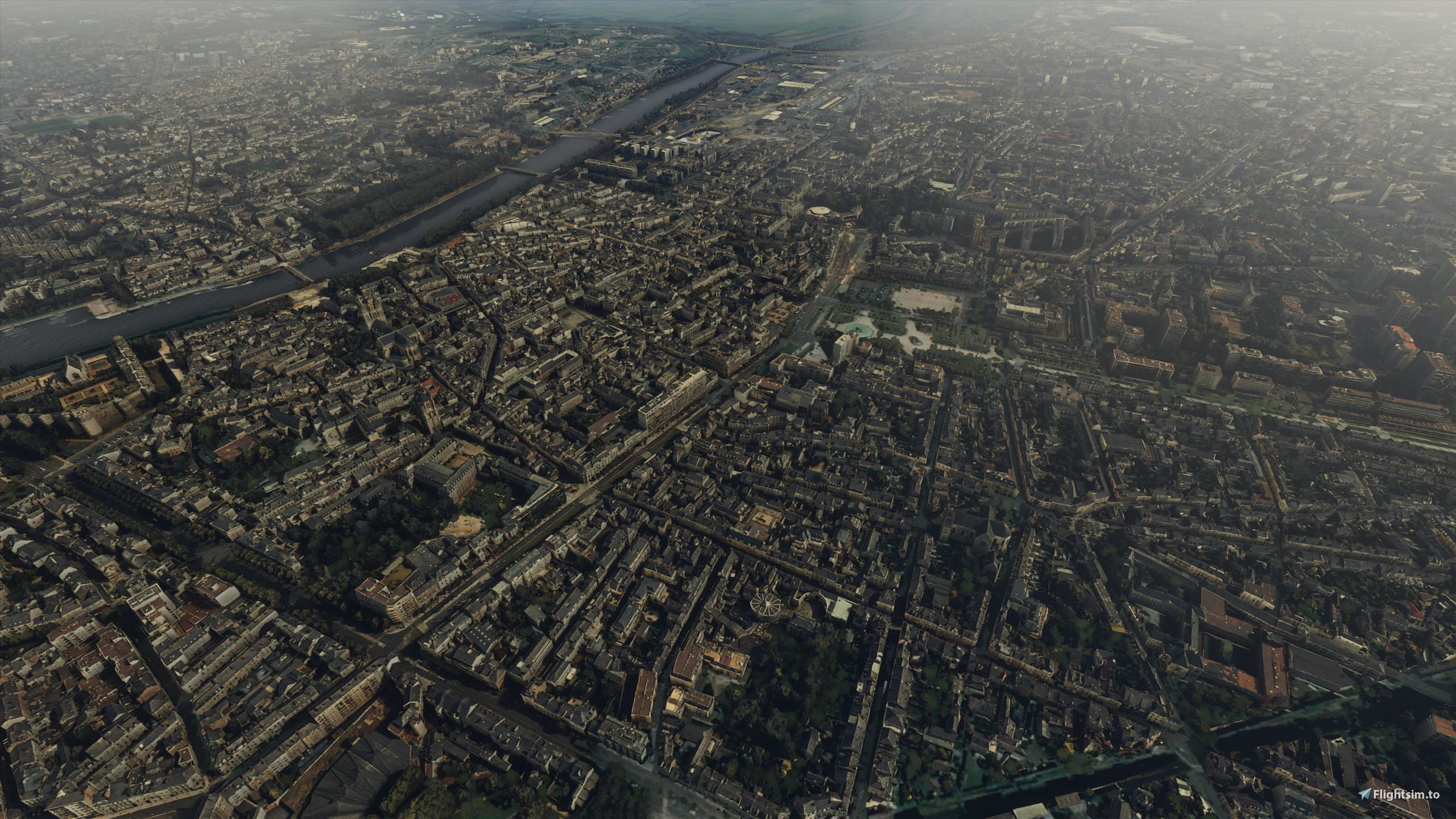
Description
Angers is a city in western France, about 300 km (190 mi) southwest of Paris. It is chef-lieu of the Maine-et-Loire department and was the capital of the province of Anjou until the French Revolution. The inhabitants of both the city and the province are called Angevins. Not including the metropolitan area, Angers is the third most populous commune in northwestern France after Nantes and Rennes and the 18th in France.
For centuries, Angers was an important stronghold in northwestern France. It was the cradle of the Plantagenet dynasty and became one of the intellectual centers of Europe during the reign of René of Anjou. Angers developed at the confluence of three rivers, the Mayenne, the Sarthe, and the Loir, all coming from the north and flowing south to the Loire. Their confluence, just north of Angers, creates the Maine, a short but wide river that flows into the Loire several kilometres south. The Angers metropolitan area is a major economic centre in western France, particularly active in industry, horticulture, and tourism.[6]
Angers proper covers 42.70 square kilometers (16.5 sq mi) and has a population of 152,960 inhabitants, while around 422,700 live in its metropolitan area (aire urbaine). The Angers Loire Métropole is made up of 29 communes covering 667 square kilometers (258 square miles) with 296,000 inhabitants.
Angers enjoys a rich cultural life, made possible by its universities and museums. The old medieval center is still dominated by the massive château of the Plantagenêts, home of the Apocalypse Tapestry, the biggest medieval tapestry ensemble in the world. Angers is also both at the edge of the Val de Loire, a World Heritage Site, and the Loire-Anjou-Touraine regional natural park.
GPS: 47° 28′ 25″ N, 0° 33′ 15″ W
Credits:
This scenery has been extracted from Google Maps, hence all 3D credits goes to Google.
This scenery has been generated with the Google Earth Decoder tool (credits to /u/Jonahex111):
https://www.reddit.com/r/FS2020Creation/comments/j3faaj/google_earth_decoder_now_userfriendly/
Addon history:
v1.0: initial release
v2.0: overall optimization:
This is a major update that optimizes the package, as it drastically reduces the number of texture files:
- less files on the package:
before: 11427 files
after: 775 files
- reduced CPU footprint
- reduced loading time at startup
- less CPU load, so it can leads to better perfs depending on the config
- better road traffic integration
v3.0: Fix a big issue with the LOD management system, due to the way Google Earth Decoder places and sizes the tiles. Now, there should not be any FPS issues, and framerate should be better and more consistent
v3.1: Fix texture flickering issues
v3.2: Add a fix for possible CTD issues ( https://flightsim.to/blog/creators-guide-fix-ctd-issues-on-your-scenery )
v3.3: Change LODs settings
v3.4: reduced package size
Installation:
Remove old angers folder, if it exists. Download thalixte-angers.zip. Extract thalixte-angers folder into the Community folder.
If you want to donate, you will always be welcome to help me continue with more projects and update the existing ones https://paypal.me/Thalixte.
Location
Angers City
Discover the city of Angers in western France with this detailed Microsoft Flight Simulator add-on. Explore the historical stronghold of the Plantagenet dynasty and experience the rich cultural life of Angers, from its universities to museums. Optimize your flying experience with reduced loading times and better performance in version 2.0 and beyond.
Avis des utilisateurs
14 avis
Historique des versions
Reduced package size
Similaires
Honolulu
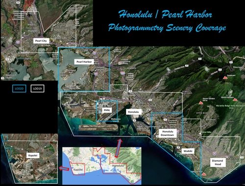
Explore the photogrammetry scenery of Honolulu, including the iconic Pearl Harbor area with optimized performance for better FPS. Discover Waikiki, Honolulu downtown, and more with this detailed addon. Enhance your experience by adding free mods for carriers, battleships, and military airplanes in Pearl Harbor and surrounding bases. Support the creator for future updates if you enjoy this mod.
par steveli
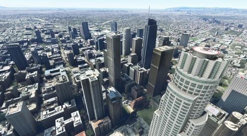
Downtown Los Angeles
Various buildings and monuments that are missing from Los Angeles in the game that shoudn't be. Wilshire Grand Center, SoFi Stadium, 801 S Grand, 825 S Hill, 888 S Hope, 1000 Grand, Apex the One, Atelier, Aven Apartments, Metropolis Towers, Level Los Angeles
par senecadriver
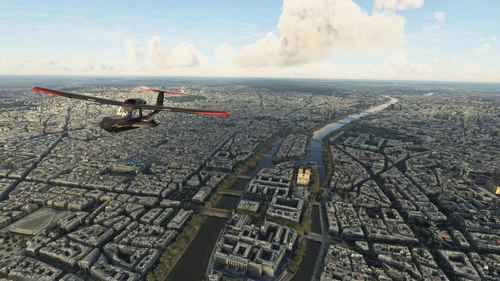
Paris
Explore the iconic cityscape of Paris in Microsoft Flight Simulator. This detailed add-on captures the essence of the French capital, featuring famous landmarks and architectural marvels. With accurate GPS coordinates, immerse yourself in the beauty of Paris, known for its historical significance and vibrant culture. Download now and experience the City of Light from a whole new perspective.
par Thalixte
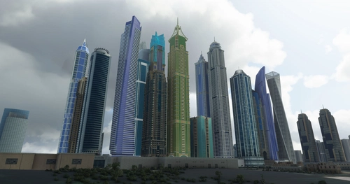
Dubai City Pack
Explore a detailed rendition of Dubai City and Jebbel Ali Port featuring over 250 custom buildings and various landmarks like the iconic hotels and tourist attractions. While focusing on enhancing the daytime visuals, this pack offers improved textures for select buildings, promising a refreshing experience for simmers. Additionally, adjustments have been made to SkyDive Dubai Airport to address previous elevation issues, ensuring a more immersive flight into this dynamic cityscape.
par risuali
Connectez-vous pour participer à la discussion
Se connecterCommentaires(23)
about 4 years ago
Toujours un grand plaisir de parcourir ma ville!
Merci, map plutôt bien optimisé!
Il ne manque plus que des tuiles avec une qualité supérieur! :)
about 4 years ago
Merci beaucoup. J'aimerais bien refaire Angers et Nantes, mais encore faudrait-il que j'ai suffisamment de temps pour les faire.
about 4 years ago
Encore merci pour ton travail et le temps que tu y consacre!
Si le temps te manque, j'ai actuellement du temps, je vais chercher à modéliser a ta manière! :)
Le résultat de ton travail donne envie d'essayer!
about 5 years ago
Limoges, pleeease, you're work is incredible and my donation for Limoges will be good!!!
over 5 years ago
over 5 years ago
Toujours de bonnes perfs au dessus de 45 fps.
J'aurai simplement aimé avoir Beaucouzé et l'école de voile du lac du Maine ajoutés à la photogrammétrie, comme c'était là-bas que j'ai passé quelques années d'enfance ;) Oui un petit caprice :D
Great City, go and take a look at the castle! Great perf as well above 45fps.
over 5 years ago
Un vrais plaisir de voler au dessus de ma ville.
almost 6 years ago
almost 6 years ago
almost 6 years ago
almost 6 years ago
Vous qui êtes spécialisé dans les grands espaces le secteur de Paris La Défense entre le Pont de Neuilly et la Préfecture des Hauts-de-Seine de Seine est plus que raté par FS2020. Il n y a qu a voir la tronche de l arche de la Def.
Si vous aviez quelques heures à consacrer à ce secteur ca serait pas top sachant que ces un fort point de passage pour Paris CDG.
almost 6 years ago
about 6 years ago
about 6 years ago
about 6 years ago
about 6 years ago
about 6 years ago
Est-ce que tu envisagerais de faire une scène pour Nantes sur le même modèle?
about 6 years ago
about 6 years ago
about 6 years ago