
Description
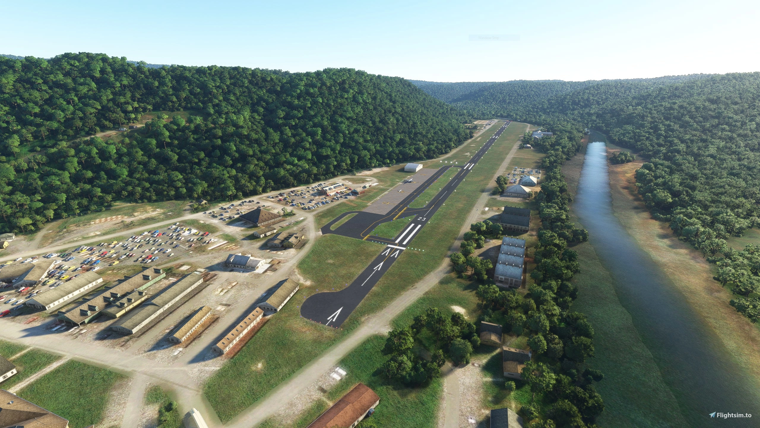
3G5 is a private airfield used by the US Army. It is nestled in a tight valley in the Appalachian Mountain Range allowing for beautiful flying.
Information
Field Elevation: 1265ft MSL
Runway: (5/23) 4500x50ft
Location
(3G5) Dawson Army Airfield
Explore the secluded Dawson Army Airfield, a private US Army base situated in the picturesque Appalachian Mountain Range. With a field elevation of 1265ft MSL and a runway measuring 4500x50ft, this remote airfield offers a unique flying experience.

Historique des versions
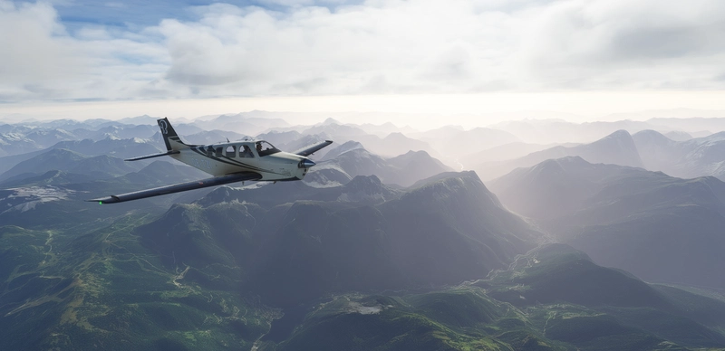
Added - Taxiway lights Fixed - Taxiway and runway texture to remove the striped effect when the sun was at the right angle - Taxiway lines
Similaires

(KUNV) University Park Airport
Experience University Park Airport in State College, Pennsylvania with this work-in-progress mod for Microsoft Flight Simulator. Serving both general aviation and commercial air taxi routes, this project will be regularly updated for an enhanced flight simulation experience. Dont forget to install the recommended airport markings package for the full effect.
par schultzgaming

(KJST) Johnstown-Cambria County Airport
Enhance the realism of KJST Johnstown-Cambria County Airport with this ongoing project. Updates include additions such as a beacon on the control tower, VOR location adjustments, and parking space expansions. Experience a civil-military airport supporting GA and military operations, home to various military units with detailed runway information provided.
par schultzgaming

(6P7) McVille Airport
Experience realistic flying at McVille Airport in Ford City, Pennsylvania. This public use airport caters to general aviation and student operations, with a field elevation of 1105ft MSL and a 2800ftx60ft runway (14/32). Recent updates include adding a functional fuel pump, removing obstacles, and enhancing the surrounding landscape for a more immersive flight simulation experience.
par schultzgaming

(KFIG) Clearfield-Lawrence Airport
Explore (KFIG) Clearfield-Lawrence Airport, a small GA airport nestled in Clearfield County, PA. This airport primarily caters to General Aviation operations and serves as a hub for STAT MedEvac air ambulances. Enjoy a field elevation of 1516ft and a runway measuring 4499x75ft. Special thanks to Scott for the custom terminal building. Updates in progress include the removal of outdated Bing Maps ground textures.
par schultzgaming
Connectez-vous pour participer à la discussion
Se connecter