Description
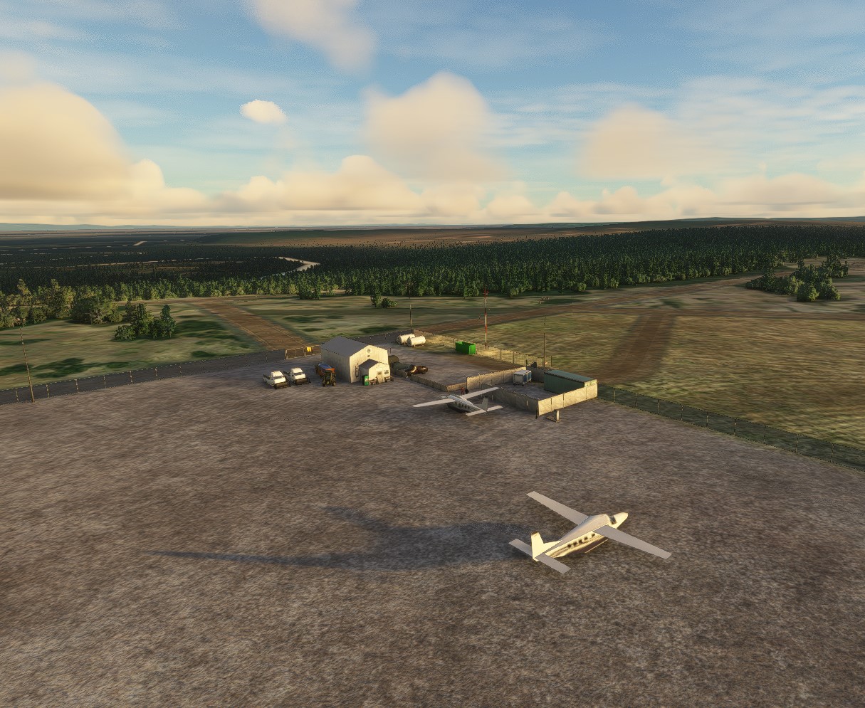
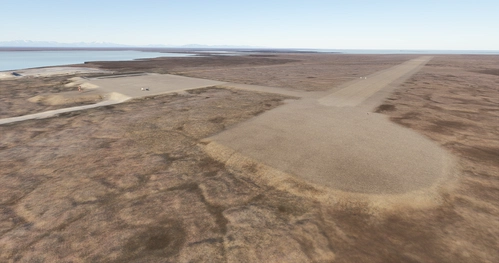
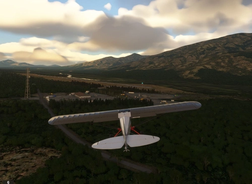
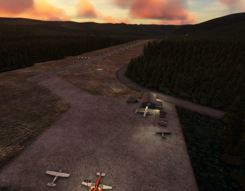
Minto Al Wright Airport is a state-owned public-use airport located one mile east of the central business district of Minto, in the Yukon-Koyukuk Census Area of Alaska. Formerly known as Minto Airport, it was renamed in August 2009 to honor Al Wright, an Alaskan aviation pioneer and founder of Wright Air Service.
Minto Al Wright Airport covers an area of 295 acres. It has one runway designated 2/20 with a gravel surface measuring 3,400 by 75 feet. Of the 1000 aircraft operations per year, 50% are air taxi and 50% general aviation.
Airport Information:
AirNav: 51Z - Minto Al Wright Airport
FAA Identifier: 51Z
Installation
Unzip the tn-airport-51z-minto-al-wright folder into your MSFS Community folder.
Many thanks to the creators of the Required and Recommended libraries. If you have not previously installed these libraries in your Community folder, some objects may not be visible in your sim. Remember, you only have to install these one time. Also, go to the sim marketplace and download the free UK2000 Scenery Common Library. All Microsoft World Updates should be installed also.
Easter Egg has been installed.
Dépendances
Commentaires(1)
Connectez-vous pour participer à la discussion
Se connecterMinto Al Wright Airport (51Z)
Minto Al Wright Airport is a state-owned public-use airport located one mile east of the central business district of Minto, in the Yukon-Koyukuk Census Area of Alaska. Formerly known as Minto Airport, it was renamed in August 2009 to honor Al Wright, an Alaskan aviation pioneer and founder of Wright Air Service.
Avis des utilisateurs
1 avis
Location
More Information
Historique des versions
Minor scenery adjustments to 1.5.0
Présent dans des collections(1)
Similaires
McGrath Airport (PAMC)
McGrath: Population 400 -- McGrath is located in the interior of Alaska. The only way to get here is by airplane, unless you’re crazy enough to drive a snow-machine or mush your dog team on the Historic Iditarod Trail. The airport covers an area of 641 acres at an elevation of 341 feet. It has two runways: 16/34 is 6,000 by 100 feet with an asphalt surface and 5/23 is 2,000 by 60 feet with a gravel surface. It handles an average of 30 flights per day, 80% commercial, and 20% general aviation.
par 55tom55
Ruby Airport (PARY)
Ruby - Population 187 -- Gold was discovered here in 1907, but no town was established until 1911 when additional gold deposits were discovered on Long Creek, causing a rush of prospectors to the area. Ruby was home for many of the mushers who carried mail for the Northern Commercial Company from Tanana to Ruby. The trip took four days and paid $5.00 a day. Dog team mail ended here in 1931. The checkpoint is in town, at the community hall.
par 55tom55
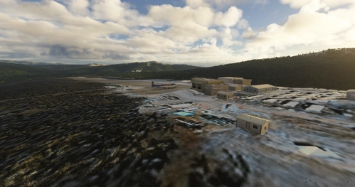
Coldfoot Airport (PACX)
Coldfoot got its start as a gold mining town in the early 1900s. It now serves as a highway and pipeline maintenance camp. The airport serves to support the camp and handle tourism into the Brooks Range. As the name implies, Coldfoot can get quite cold. However, the summer months do bring temperatures into the seventies.
par 55tom55
Rampart Airport (PFMP)
Rampart Airport is a state owned, public use airport located one nautical mile east of the central business district of Rampart, in the Yukon-Koyukuk Census Area of the U.S. state of Alaska. Commercial service was subsidized by the Essential Air Service program until October 2016.
par 55tom55
almost 2 years ago
thank you very much tom for this scenery