
Description
This Version 2 is a major upgrade. Many new, standard library objects have been added. It is now compatible with both MSFS 2020 and 2024. Delete the old 2020 version before installing this new one.
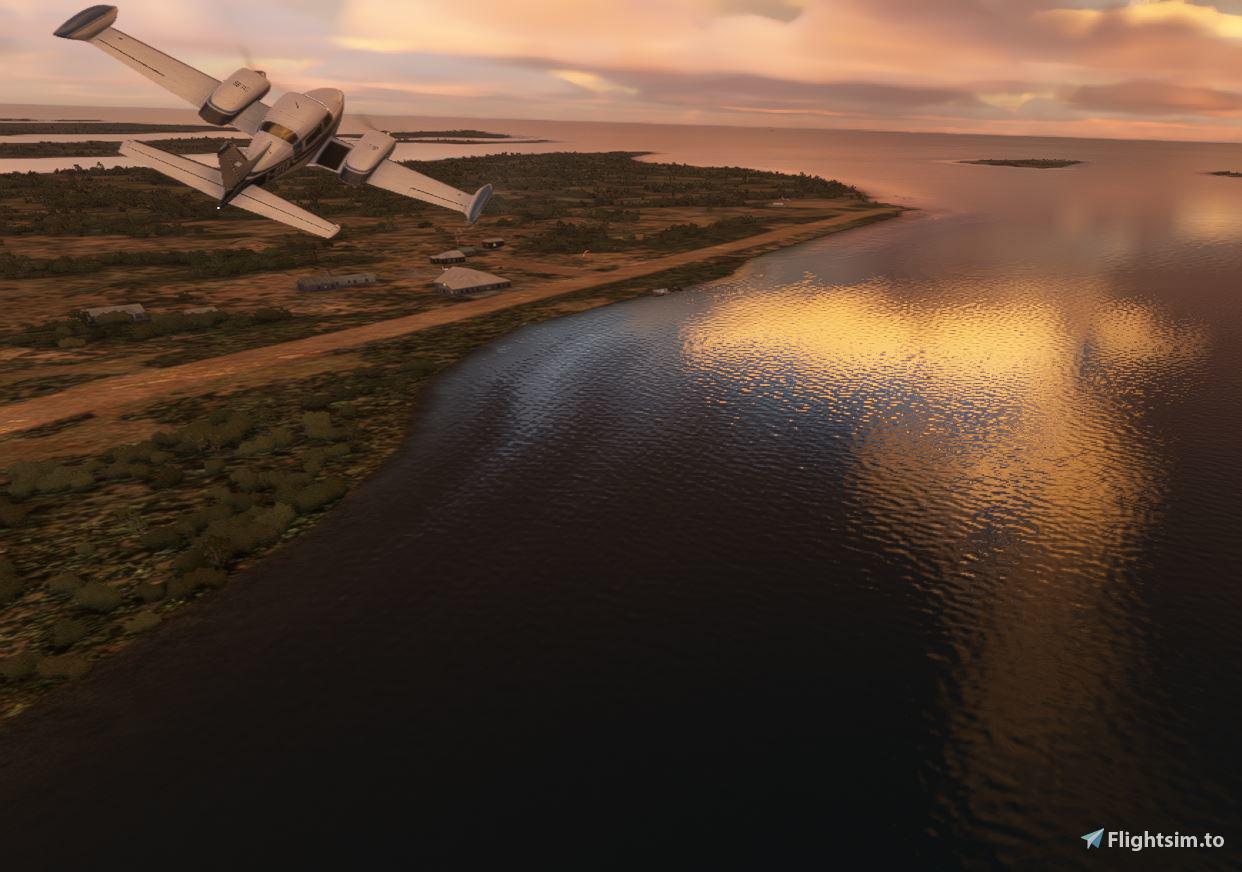
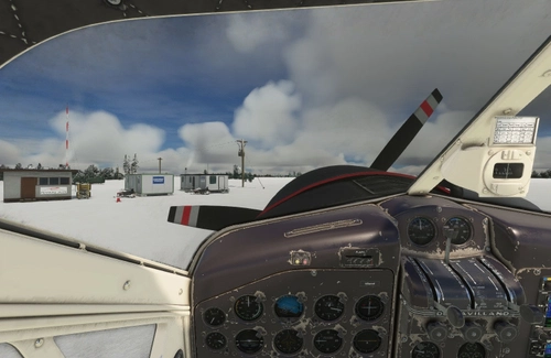
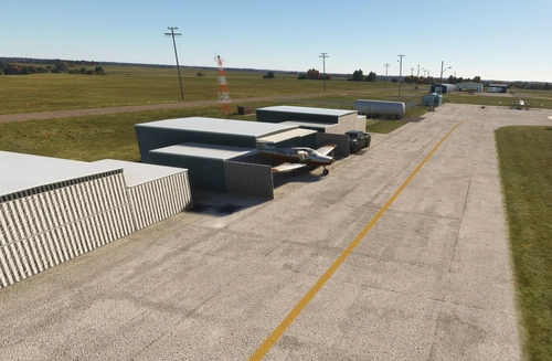
Helmericks Airstrip (FAA identifier: 22AK) is a private-use airstrip located in a remote part of northern Alaska, near the Colville River delta. It serves the Helmericks family homestead, which is not a formal village but rather a self-sufficient settlement established decades ago by the Helmericks family. The airstrip provides vital access to this isolated location, especially during times when river or overland travel is impractical.
Located above the 70th parallel, Helmericks airport is one of the several airports that dot the Arctic shoreline. Deadhorse Airport is 40 miles away in Prudhoe Bay, the terminus of the Dalton Hwy. The Colville lodge was established by Alaska bush pilot and guide Harmon "Bud" Helmericks more than 60 years ago. Colville was originally known as the Arctic Tern Fish & Freight Company which served as a guide service for early North Slope oil exploration. The Helmericks homestead on the Colville River was also tied to the village of Nuiqsut, which was established 22 miles upriver of the homestead in the early 1970s. Prior to that, the Helmericks airstrip was the closest field for aircraft operating in and out of Prudhoe. It made them the hub for the '50s and '60s and cemented the family's name in the region and industry.
Dimensions: 2500 x 50 feet (762 x 15 meters)
Surface: Gravel / Dirt
Runway: 03 / 21
GPS Coords: 70.428338, -150.402899
Installation:
Copy the airport folders inside of the Zip file into your MSFS Community folder.
This airport was created using Standard Asobo/Microsoft libraries found in the sim. I also used the FREE “UK2000 Common Objects Library”, and the FREE “Emerald Objects Library” found in the sim Market Place. If you have not previously installed these libraries in your Community folder, some objects may not be visible in your sim. Remember, you only must install these one time. All Microsoft World Updates should be installed also.
An Easter Egg is hidden.
Location
Helmricks Airstrip (22AK)
Located above the 70th parallel, Helmericks airport is one of the several airports that dot the Arctic shoreline. Deadhorse Airport is 40 miles away in Prudhoe Bay, the terminus of the Dalton Hwy. The Coleville lodge was etablished by Alaska bush pilot and guide Harmon "Bud" Helmericks more than 60 years ago, Colville was originally known as the Arctic Tern Fish & Freight Company which served as a guide service for early North Slope oil exploration.
Avis des utilisateurs
2 avis
Historique des versions
This Version 2 is a major upgrade. Many new, standard library objects have been added. It is now compatible with both MSFS 2020 and 2024. Delete the old 2020 version before installing this new one.
Présent dans des collections(2)


Similaires
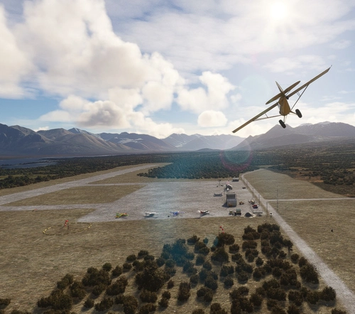
Nikolai Airport (PAFS)
Nikolai: Population 125 -- This is the first of many Native villages along the Iditarod Trail. In 1963, the local residents cleared their own airstrip. This made year-round access to the outside world possible. This is Iditarod checkpoint #7. To learn more about the Iditarod, it's airports, and the race itself, go to the Iditarod.com website.
par 55tom55
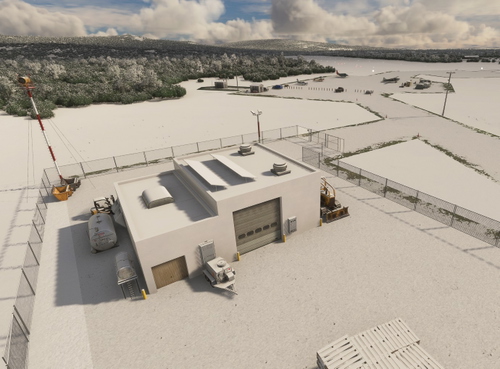
Galbraith Lake Airport (PAGB)
This airport, just off the Dalton Highway, was a major supply link during the construction of the Alaska pipeline during the 70's. The Dalton Highway, also called the Haul Road, is one of the northern-most roads in the world. It also has a camp site for motor homes and trailers for the weary Dalton highway travelers.
par 55tom55
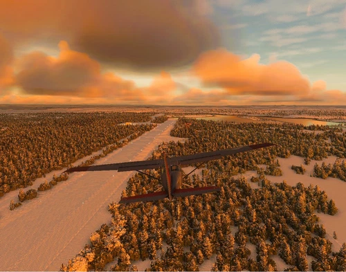
Koyuk Alfred Adams Airport (PAKK)
Koyuk is a small village of 350 residents. The village is located on the northern bank of the Koyuk River where it drains into Norton Bay, about 130 miles from Nome. Koyuk Alfred Adams Airport is one of 24 airstrips and airports on the Iditarod Trail that runs from Anchorage to Nome.
par 55tom55
Skwentna Airport (PASW)
Skwentna has a population of about 30 people and lies on the south bank of the Skwentna River at its junction with Eight Mile Creek. This small village is located west of the Mat-Su Valley and is a 70-mile flight from Anchorage. The first permanent settlers did not show up until after the Alaska Road Commission cut the Iditarod National Historic Trail in 1908. Roadhouses were later constructed along the trail, including the Old Skwentna Roadhouse, to service the prospectors, trappers, and Alaska Natives who used sled dogs to transport goods over the trail.
par 55tom55
Connectez-vous pour participer à la discussion
Se connecterCommentaires(3)
about 1 year ago
thank you very much for this great littel bush strip. As goog as always 👍👍👍
over 2 years ago
over 2 years ago