

Description
Koyuk - Iditarod checkpoint #19
Koyuk is a small village of 350 residents. The village is located on the northern bank of the Koyuk River where it drains into Norton Bay, about 130 miles from Nome.
Koyuk Alfred Adams Airport is one of 24 airstrips and airports on the Iditarod Trail that runs from Anchorage to Nome. The Iditarod Airforce is a group of pilots who volunteer their time and planes to service the 24 race checkpoints. Their missions include delivering food for the teams, picking up injured sled dogs, and many other logistical services for the volunteers who manage the checkpoints.
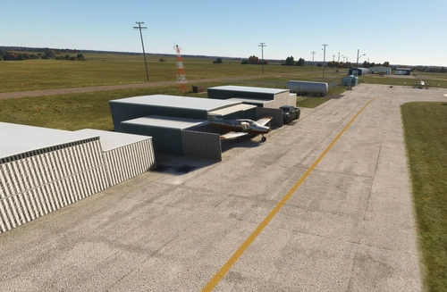
This public-use airport is owned by the State of Alaska and serves the town of Koyuk. It features a single gravel runway (1/19) measuring 3,000 feet (914 meters). The airport supports limited commercial service, primarily connecting to nearby communities like Nome, Shaktoolik, and Unalakleet via carriers such as Bering Air and Ryan Air. With no control tower and basic lighting systems, it operates under visual flight rules and is a vital lifeline for passenger travel, mail, and supplies.
I’ve included a link to a short video, Wings of the Iditarod that features the Iditarod Airforce.
In order to replicate Iditarod conditions, I recommend setting your Weather parameters to Month = March. Snow Depth = 29”. Temperature = 0 degrees.
Installation:
Copy the airport folder inside of the Zip file into your MSFS Community folder.
This airport was created using Standard Asobo/Microsoft libraries found in the sim. I also used the FREE “UK2000 Common Objects Library”, and the FREE “Emerald Objects Library” found in the sim Market Place. If you have not previously installed these libraries in your Community folder, some objects may not be visible in your sim. Remember, you only must install these one time. All Microsoft World Updates should be installed also.
There is an Easter Egg installed.
Location
Koyuk Alfred Adams Airport (PAKK)
Koyuk is a small village of 350 residents. The village is located on the northern bank of the Koyuk River where it drains into Norton Bay, about 130 miles from Nome. Koyuk Alfred Adams Airport is one of 24 airstrips and airports on the Iditarod Trail that runs from Anchorage to Nome.
Avis des utilisateurs
3 avis
Historique des versions
Version 2.0 is now MSFS 2020 and 2024 compatible. It is a major upgrade including many new standard sceneries.
Présent dans des collections(3)

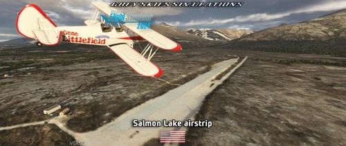

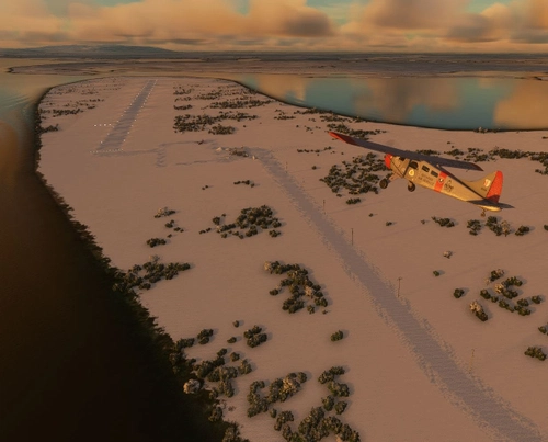

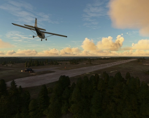
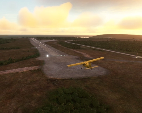

Similaires
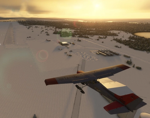
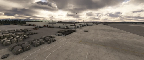
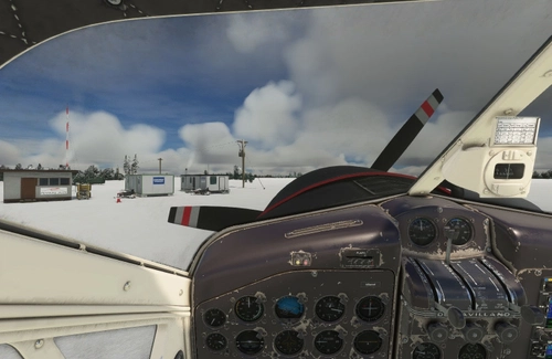
Nikolai Airport (PAFS)
Nikolai: Population 125 -- This is the first of many Native villages along the Iditarod Trail. In 1963, the local residents cleared their own airstrip. This made year-round access to the outside world possible. This is Iditarod checkpoint #7. To learn more about the Iditarod, it's airports, and the race itself, go to the Iditarod.com website.
par 55tom55
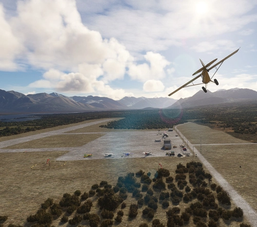
Galbraith Lake Airport (PAGB)
This airport, just off the Dalton Highway, was a major supply link during the construction of the Alaska pipeline during the 70's. The Dalton Highway, also called the Haul Road, is one of the northern-most roads in the world. It also has a camp site for motor homes and trailers for the weary Dalton highway travelers.
par 55tom55
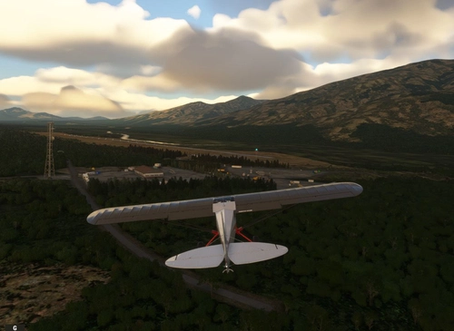
Coldfoot Airport (PACX)
Coldfoot got its start as a gold mining town in the early 1900s. It now serves as a highway and pipeline maintenance camp. The airport serves to support the camp and handle tourism into the Brooks Range. As the name implies, Coldfoot can get quite cold. However, the summer months do bring temperatures into the seventies.
par 55tom55

Skwentna Airport (PASW)
Skwentna has a population of about 30 people and lies on the south bank of the Skwentna River at its junction with Eight Mile Creek. This small village is located west of the Mat-Su Valley and is a 70-mile flight from Anchorage. The first permanent settlers did not show up until after the Alaska Road Commission cut the Iditarod National Historic Trail in 1908. Roadhouses were later constructed along the trail, including the Old Skwentna Roadhouse, to service the prospectors, trappers, and Alaska Natives who used sled dogs to transport goods over the trail.
par 55tom55
Connectez-vous pour participer à la discussion
Se connecterCommentaires(9)
5 months ago
5 months ago
almost 4 years ago
Great, Tx!
over 4 years ago
I have a question about Koyuk which is #18 on the Iditarod. So then Elim 19, Goldolvin 20, White Mountain 21, Safety 22, and Nome 23. So there are 23 sirstrips on the Iditarod instead of 24?
And it starts with Ventna is 02, and Willow is 01 ?
Thank you.
over 4 years ago
The Iditarod does not always use the same route, so the number of checkpoints and airstrips varies from year to year. I picked a route that is commonly used, roughly every other year. Campbell (CSR) is where the cerimonial start ends on day one from Anchorage. I call it Checkpoint #0. The official restart is at Willow (PAUO), Checkpoint #1. I will add an image to this page that shows all 24 checkpoints on the "North" route.
over 4 years ago
Hey thanks for the map, I've been flying them all with the Aviat Husky.
almost 5 years ago
Where i can find those libraries, cause i cant see people, tent and big hangar on the field?
almost 5 years ago
Maybe these here:
https://flightsim.to/file/8887/beekay-pack1
https://flightsim.to/file/5452/dave-s-3d-people-library
https://flightsim.to/file/8824/emerald-object-library
https://flightsim.to/file/21769/pbk-effects-library
https://flightsim.to/file/17182/totof-aircraft-library-v1-1
https://flightsim.to/file/14024/windy-things
https://flightsim.to/file/2549/edhk-lights-pack
almost 5 years ago
Hey, I have exactly the same problem.
I really enjoy your small airfields, as they add so much flavor to flying in Alaska. So it would be fantastic if we could identify the missing library.